At last it was our final day on the High Sierra Trail, as well as the day we summit Mt. Whitney, the tallest point in the continuous U.S! This last day was an intense one, from experiencing some of the coldest and iciest hiking conditions, to feeling a flood of emotions on top of the summit, to descending over 6k feet in a day, we can definitely say finished our week on the trail with a bang!
Hike Info
Total Elevation Climbed: +3,415 ft
Total Elevation Lost: -6,617 ft
Net: -3,144 ft
Miles: 15.5
From: Guitar Lake (11,493 ft)
To: Whitney Portal (8,349 ft)
The Hike
On our final morning, we awoke to snow flurries falling down on us from the tent roof. Due to how cold it was, we had decided the night before to cancel our goal of waking up at 3am to start hiking up Mt. Whitney. After setting up camp at the end of our hike yesterday, we couldn't even do the dishes because the water would freeze instantly, completely encasing our bowls with ice... and this was still before sunset!
To our relief, this morning the temperatures were a little more bearable due to the lack of wind. We still huddled in the tent together to watch the sunrise while cocooned in our sleeping bags, waiting for the air to warm up a little more before getting moving.

That night at Guitar Lake was the coldest night I've ever experienced while camping. Even though it was only mid-September, we knew this camp site would be the coldest sitting at over 11,000 ft in elevation, but mainly due to the storm that came through that morning. We felt extremely lucky to have just missed that storm by a day and be treated to a clear day to summit Whitney.
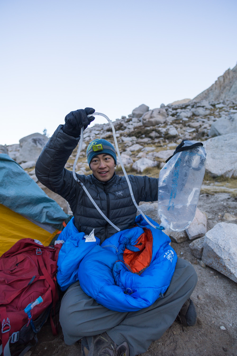
Our water tubes had frozen solid overnight and made it difficult to cook breakfast or make coffee, but at least my PopTarts were frozen just the way I like to eat them! I had a good laugh watching Ed eat his frozen breakfast and attempt to thaw out his kinked Camelbak tube.
Click here to read more about my favorite foods to bring backpacking


Eventually we able to brush most of the snow and ice off our gear, pack our gear up, and start our long journey up and over one last mountain range.

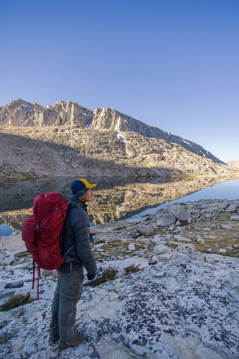


We continued up the valley, slowly traversing up the back side of Mt. Whitney. The trail was mostly covered in slippery ice for the first hour due to the many small springs and lakes running throughout the basin, but we soon reached drier terrain and felt more sure-footed as we started up the steep switchbacks.


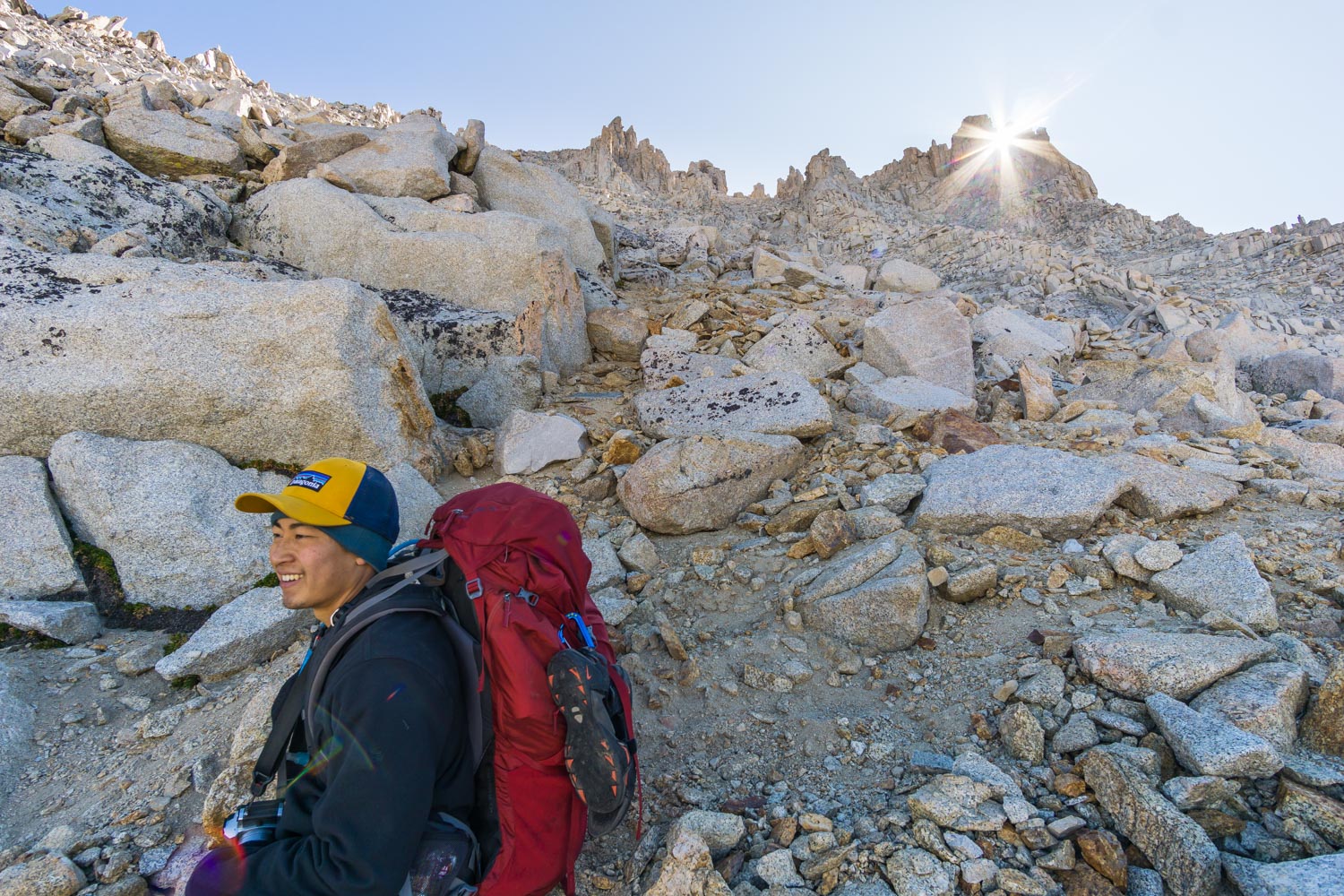
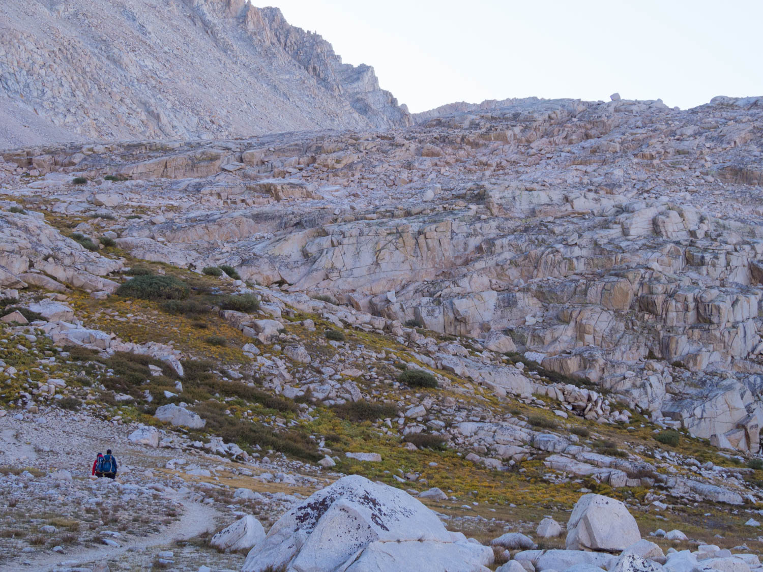
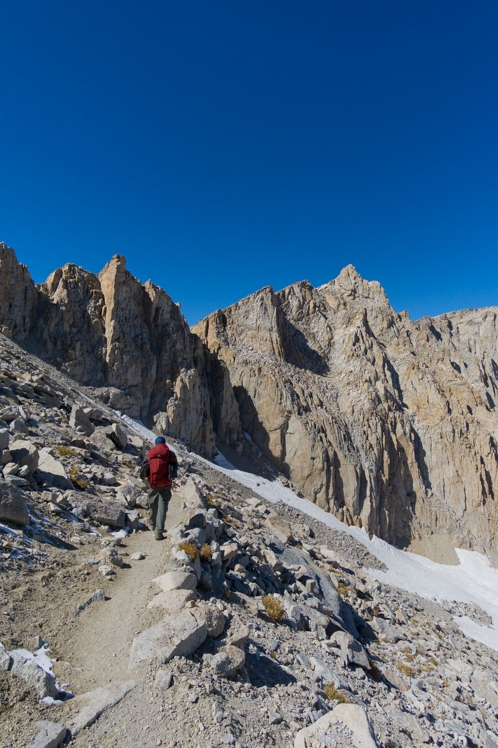
This is where we really started to feel the elevation and the thin air. Only a mile into the hike, we were already above 12,000 ft of elevation, and only 1.5 miles later we quickly surpassed the 13,000 ft mark. It's pretty crazy how much altitude can affect the body - even though we were well acclimated to hiking at high elevations from the first half of the week, we still had to rest at every other switchback.
I also found myself marveling at how well the body can perform under such stress. At 13,000 ft you are only intaking 37% of the normal oxygen you would get at sea level! And we were carrying full packs trying to gaining a total of 3,000 ft in elevation! Furthermore, our hydration tubes were still frozen solid, so we didn't have any easy access to water on the entire climb, adding to the challenge.
Resting at a switchback while climbing up the backside of Mt. Whitney
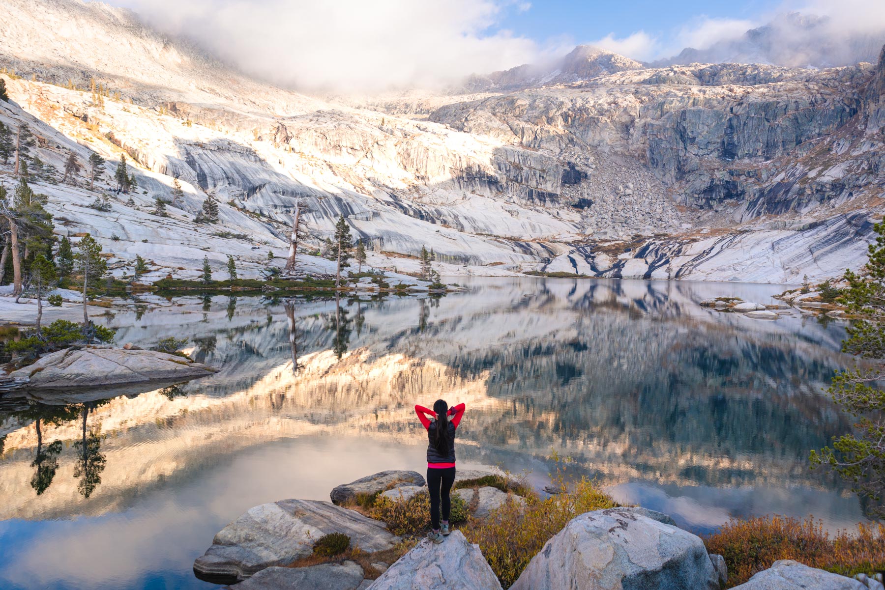
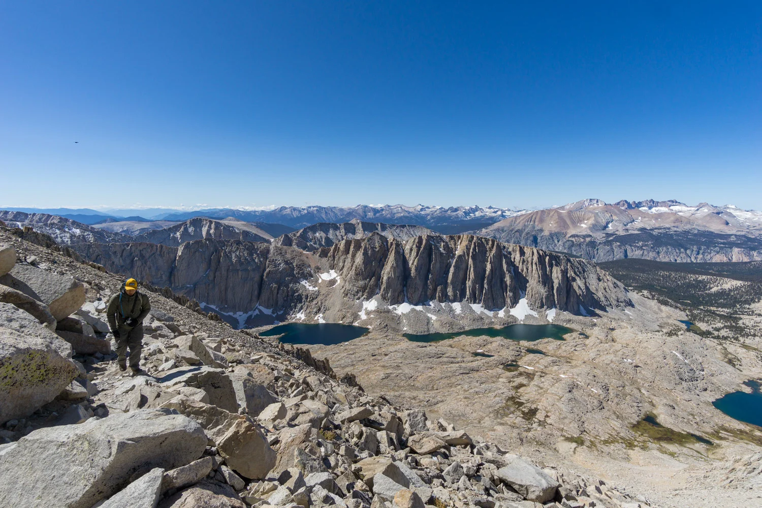
3.1 miles from Guitar Lake we finally reached the junction for the summit. We took a moment to soak in the spectacular views of the lakes below us and the mountain range in the distance. To my amazement, we could even spot the Great Western Divide that we had crossed on day 3, now covered in a light dusting of snow. How crazy to think my legs along have brought me all this way!


Views of the Great Western Divide in the distance.. we came from the other side!
From this point, we only had 2.4 miles to go to the summit of Mt. Whitney, the climax of our entire trip. We dropped our packs near the junction sign with a handful of other packs, and loaded up our daypacks. Another hiker gave us a heads up about the animals that can be found at this exact spot chewing through peoples packs for food, so we made sure to take the rest of our food with us in our daypacks.
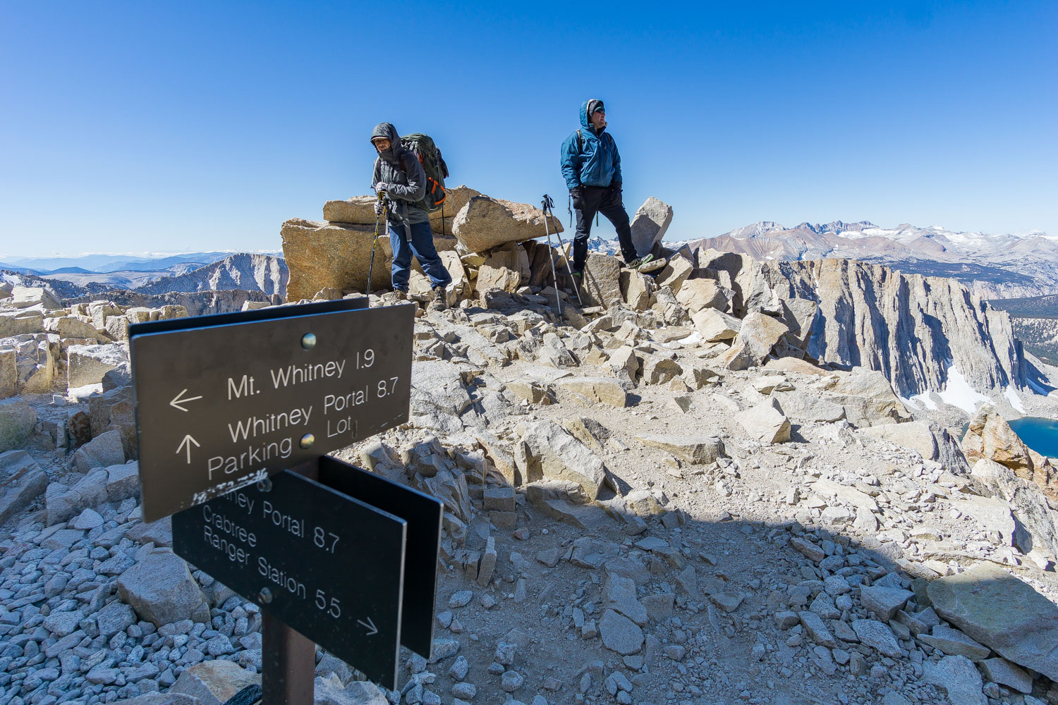
We headed north on the rocky, exposed route that traverses the western slope. The true summit can be difficult to spot until you are closer, but you can look for the Mt. Whitney Hut that was built over 100 years ago perched atop of one of the flat peaks.


Having only spotted a handful of hikers over the past week, it felt slightly unnatural navigating through the throngs of dayhikers that had also headed up to the summit. Even this late in the season the dayhike permits seemed to be at max capacity. Seeing some of the struggling dayhikers also made feel grateful we were able to camp at 11,000 ft the night before to acclimate, the altitude is no joke!
After hiking with extremely heavy packs all week, we felt incredibly light and almost giddy as we covered the traverse quite quickly.
Click here for a list of everything we packed!
While passing the small canyons formed in-between peaks, we spotted some pretty insane chutes and crevasses that drop straight down from the ridgeline.
After 1.9 miles from where we dropped our packs, the trail turned sharply east and headed straight up towards the summit.
As the hut came into sight and I got my first view of the desert valley on the other side, I felt so relieved and a little emotional... I can't believe actually did it! My longest backpacking trip, most miles hiked in a day, and heaviest pack I've carried...we were standing on top of the tallest point in the continuous U.S looking!
Up here at 14,505 feet, we had clear views of both the desert-like Owens Valley on one side and the entire alpine Sierra on the other. We could even see the western border of the Sierra, the Great Western Divide, from this point, and at this point I couldn't even wrap my head around the fact that we had parked on the other side of those snowy mountains and walked all this way.


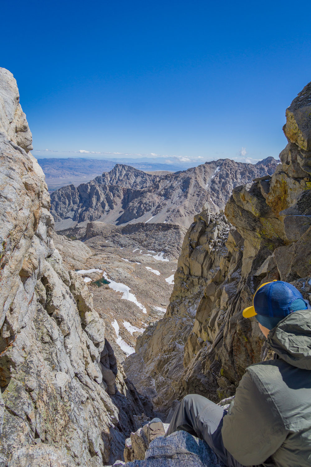
After relaxing, having a snack, and reconnecting with the world by checking our phones with the 3G, we begrudgingly headed back. We still had a long ways to hike back to the car. Once we picked up our packs, it was another 100 yards to climb up to the Trail Crest, the true dividing point between the western and eastern Sierra.

Looking over the eastern side from the Trail Crest
We started our descent down the mountain with the infamous '99 switchbacks', and yes there are 99 of them. We also passed a particularly hazardous section marked with cables at the edge of a drop off where the entire trail was covered in slick ice. Since we didn't have crampons, we managed with some cautious butt scooting.

After the endless switchbacks, the trail leveled out and we reached Trail Camp Pond (12,005 ft) and a flat open area where several tents were set up. This is where many hikers will stay the night to prepare for the summit the next day when hiking in from Whitney Portal, and it is also the first source of water we reached since leaving Guitar Lake early that morning. Passing Trail Camp meant we only had 6.3 miles to go.
We continued downhill following Lone Pine Creek for 1.8 miles until we hit Mirror Lake (10,673 ft). This lake was smaller, but quite picturesque with trees lining the shore and tall cliffs surrounding the edge. There was also no camping here, likely to preserve the pristine habitat in such a high traffic area.
0.7 miles later we reached Outpost Camp (10,400 ft), which was even busier than Trail Camp. Outpost Camp felt more welcoming compared to the rocky and windy Trail Camp since the former sits below the tree-line, is near the lush Bighorn Meadow, offers lots of flat sites to choose from, and even has a substantial 50 foot waterfall in sight.
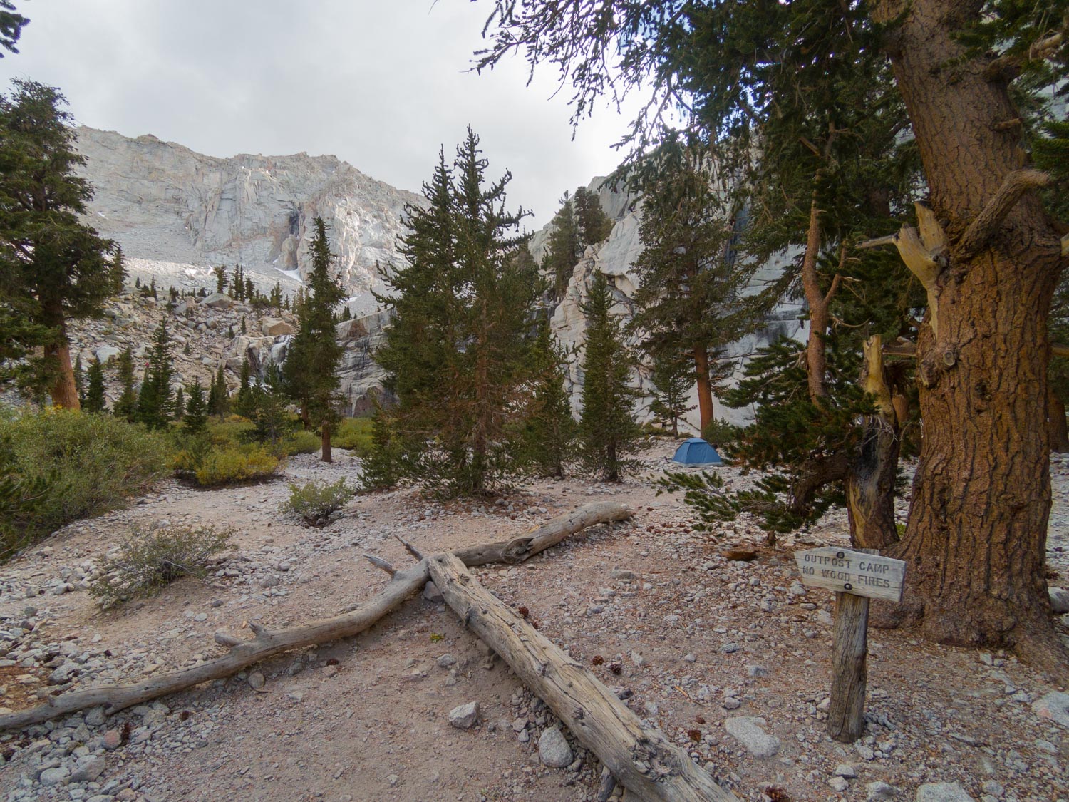
Outpost Camp with the waterfall in the background
The final 3.8 miles were hard on my legs, which were so exhausted from the past consecutive 15 mile days. The only thing keeping me going was seeing Owens Valley in the distance getting closer and closer. We could spot many of the day hikers also making their way back to the portal ahead of us, and eventually we spotted the paved road and cars at the very bottom of the mountain side - civilization!

Click here to read about how we dropped off a car here!
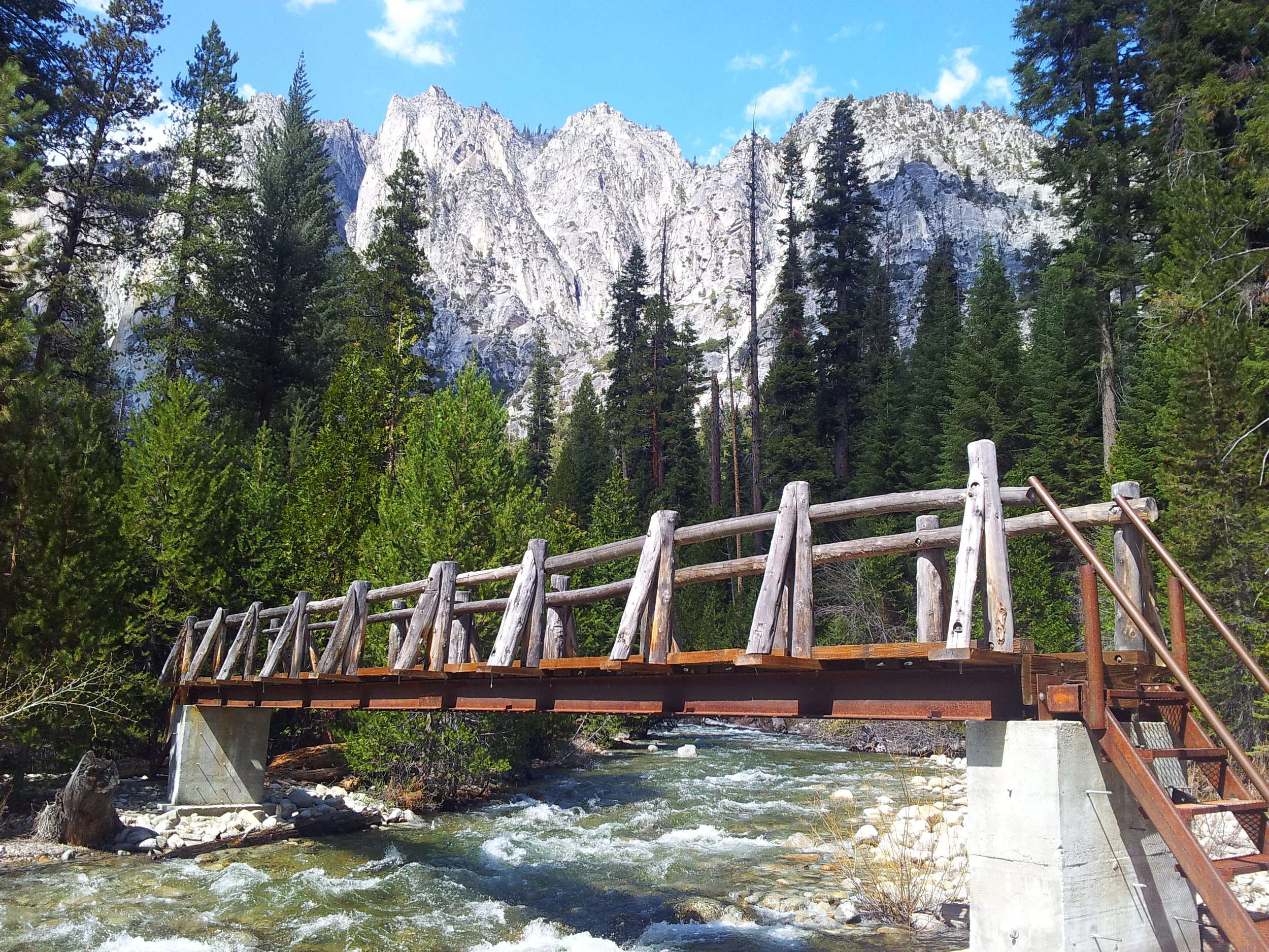
As we walked up to our car that we had dropped off 6 days ago, we hugged and high fived - we ACTUALLY DID IT, we finished the 72 mile High Sierra Trail in 6 days, faster than our original plan! It felt surreal getting in a motorized vehicle and moving faster than 3 mph as we zoomed down the mountain.
Read More About the High Sierra Trail
Itinerary:
Day 1: Crescent Meadow to 9 Mile Creek
Day 2: 9 Mile Creek to Hamilton Lake
Day 3: Hamilton Lake to Moraine Lake
Day 4: Moraine Lake to Junction Meadow
Day 5: Junction Meadow to Guitar Lake
Day 6: Guitar Lake out to Whitney Portal
More Posts to Help You Plan:
Backpacking the High Sierra Trail overview
How to plan transportation for the HST
What I packed for the High Sierra Trail
Favorite backpacking meals and foods
Some of the beautiful photos in this post are by Edmond Kwok (Instagram: @edd.kwok)