Lower Ottoway lake was one of the prettiest lakes I've ever been to, and even though the trek there was quite challenging and cold, it was definitely worth the effort. If you want to experience back country isolation and true wilderness, the Ottoway Lakes are some of the most scenic, pristine and remotes lake in the Yosemite area.
Hike Info
Elevation Change: 3,200'
Trail Type: Out and back
Permits are required for all overnight trips in Yosemite. Permits can be reserved online via Recreation.gov via a lottery system if you are able to book far enough in advance.
Here’s my blog post all about reserving backpacking permits and their deadlines
No available permits?
If you are having difficulty finding available permits, you can sign up to track specific dates and be notified of any cancellations via Outdoor Status.
Getting There
If you have a long drive to Yosemite, you can stay in the backpacker's camp the night before your hike in to get an early start. Know that these camps just designate general areas for lots of people to pitch their tents and crash for the night, and they are not by any means quiet or quaint.
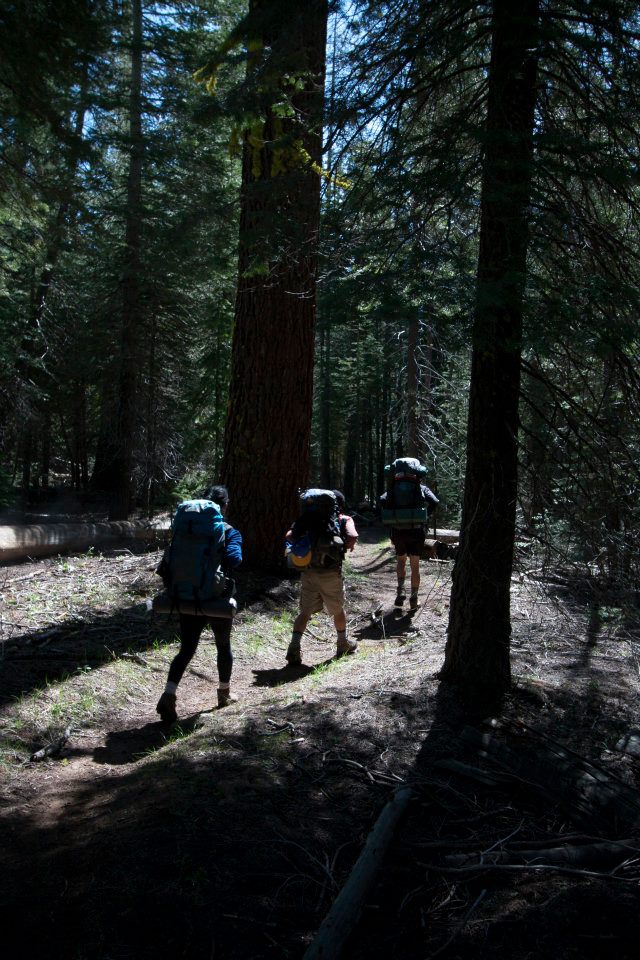
The next morning we drove to the trailhead at Glacier Point, stopping at Panorama view to snap a photo. Once we parked, we started to gear up for the long hike in.

Where we pitched our tents at the backpacker's campground
The Hike
Starting at the dirt parking lot at the trailhead (7300'), it's a 0.6 mile hike down to Mono Meadow, a lush and swampy area that we crossed on fallen logs.
The beginning of the trail was quite easy and shaded

One of the few river crossings. Balancing with a full pack is harder than it seems!
At 2.9 miles we reached 2 junctions: head towards Nevada Falls at the first and at the second turn right towards Ottoway Lakes. When we reached a sandy portion of the trail, we had to take a couple breaks since it was so exposed and exhausting to hike in the soft sand.
The sand flats were exhausting to hike with a heavy pack on
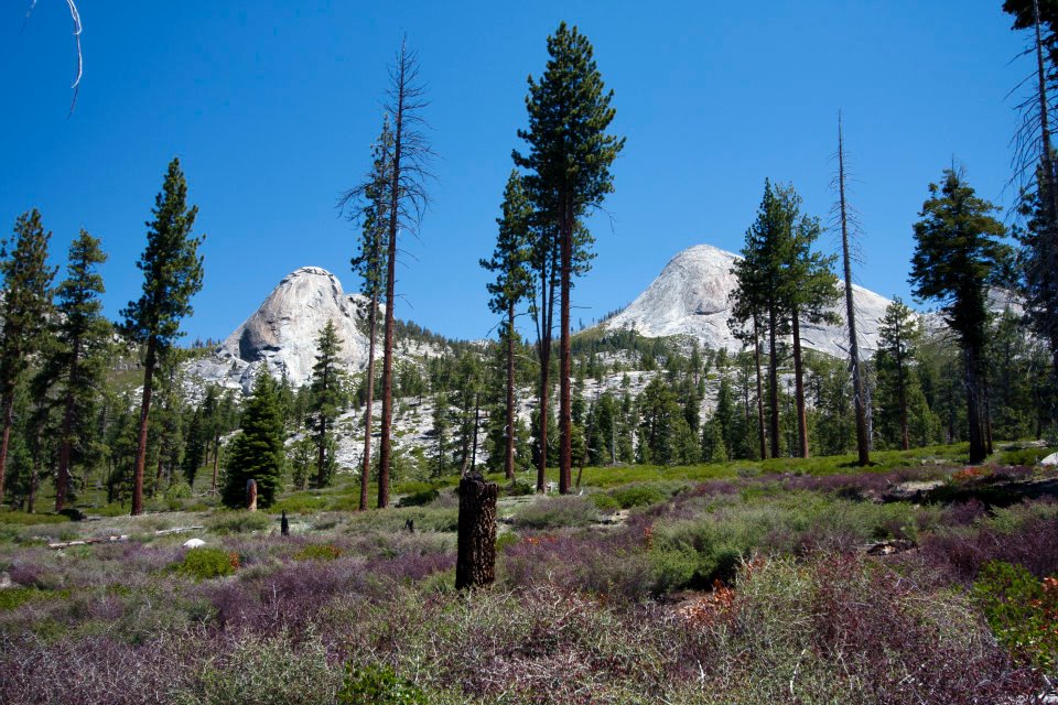
The meadows still had some color
At 5.5 miles we reached Clark Fork crossing, a relatively easy river crossing. It wasn't until a simple fat log over a small brook that Kyle lost his balance and put one foot in. He decided to switch to sandals for the rest of the hike.

We had to take off our shoes to cross an icy river

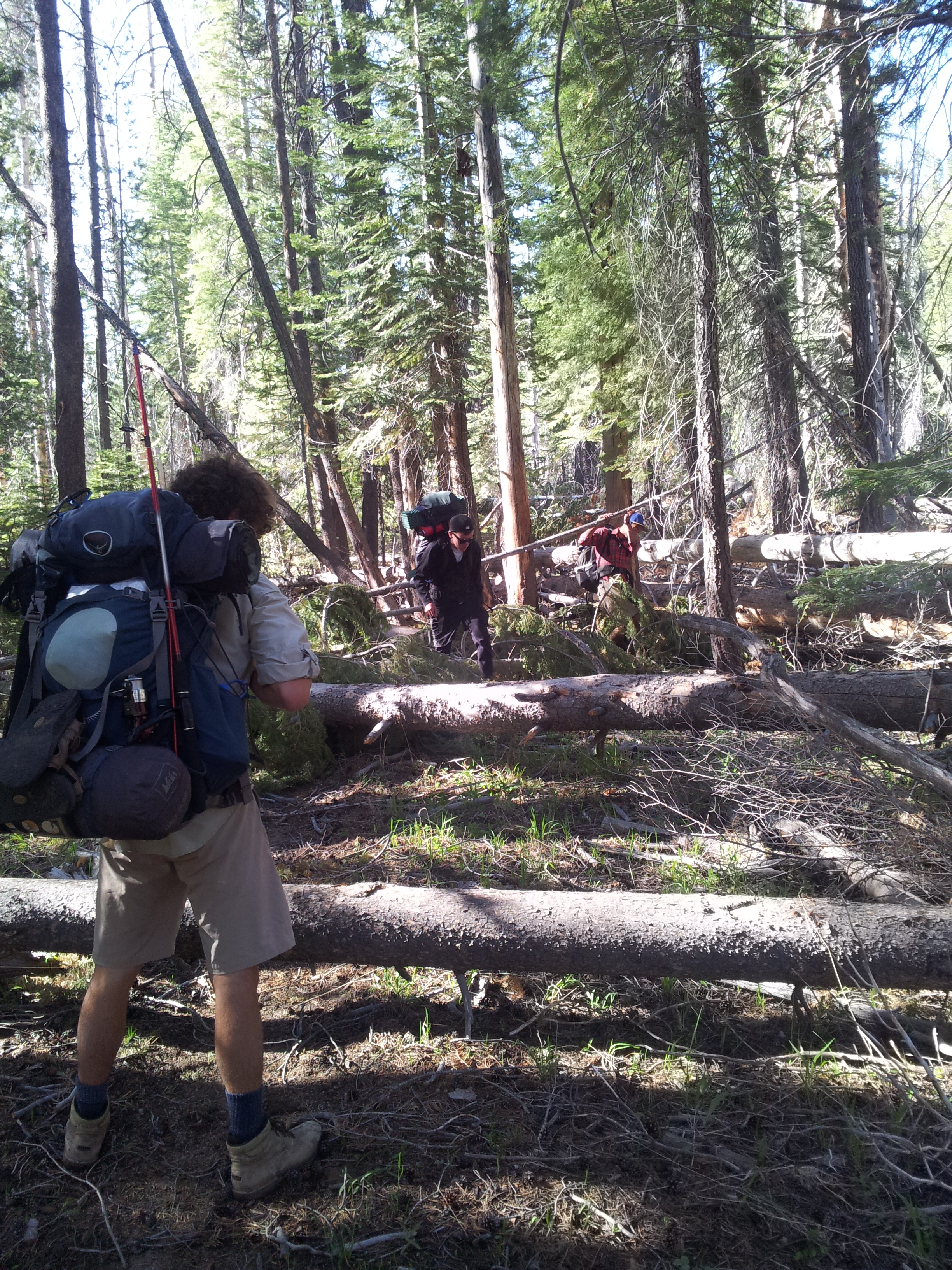
The many fallen logs added extra time to climb over/walk around

A beautiful waterfall the trail passed by
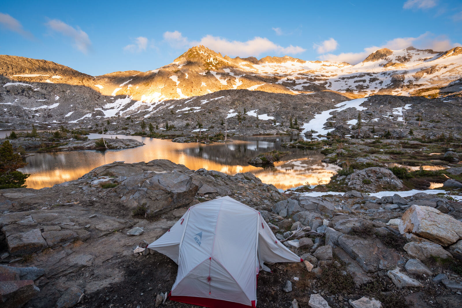
At 12.1 miles from the TH, we reached the Merced Pass/Red Peak Pass Junction, and we turned right here. After hiking a little further, we still couldn't find the lake, which should have been 15.2 miles to the first lake. The sun was setting and we were exhausted, so we put down our packs and decided to just set up camp and continue the search tomorrow. We ended up finding quite a nice, flat and soft camp spot sheltered from the wind.

Thankful to have found such a nice campspot for the night
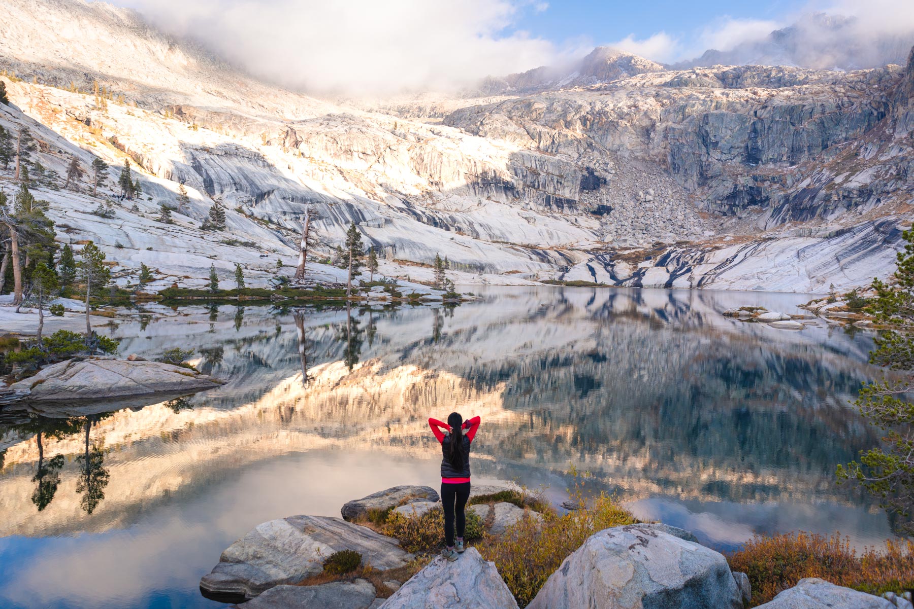
The next morning we woke up and donned our daypacks. Continuing on the trail, we quickly found Lower Ottoway Lake (9700') within 30 minutes.
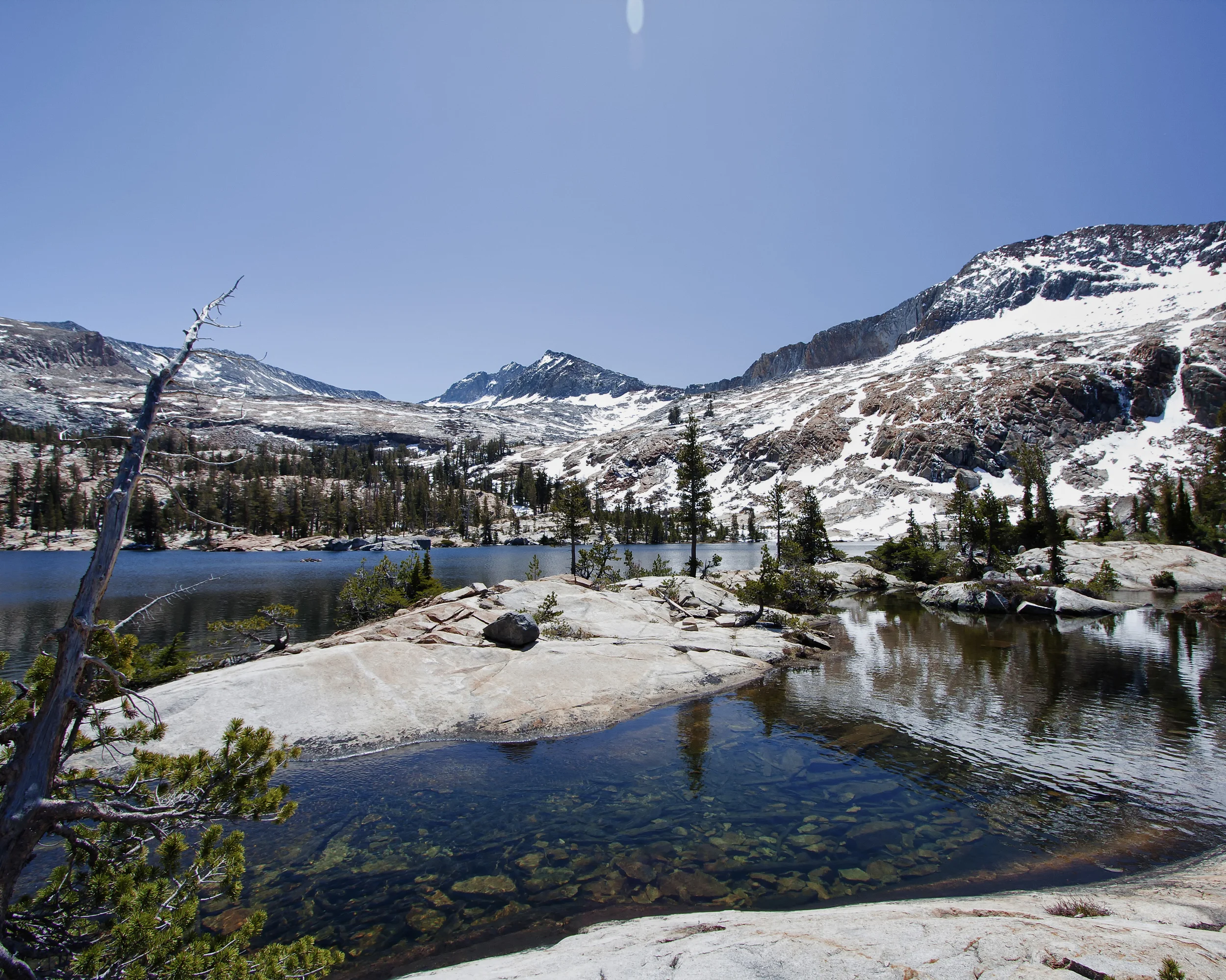
The small lake we found instead of Ottoway the day before

The initial view coming up to Ottoway Lake
Ecstatic, we dropped our packs explored the edges of the beautiful lake.

Beautiful Lower Ottoway lake.
Kyle and Clark pulled out their fishing rods and tried some fly fishing. After not catching anything for 20 minutes, they gave up and we had lunch - a delicious meal of packaged tuna and Triscuits.

Fly fishing from the rocks above the clear waters

The water was so clear!
We laid down and watched the fast moving clouds above us, and we also tried fishing a little (we didn't catch anything. We also weren't very good fishermen). Even though the water was icy cold, we decided to jump in for fun (it was frigid). After drying off and pumping some delicious alpine water, we decided to head back to our camp spot. On the hike back, we spotted a marmot in front of her den!
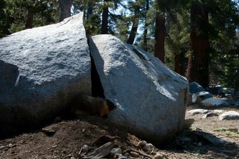
We found a marmot in front of his home!
Since we got back earlier than expected, we decided to pack up and get a head start on the hike back for the next day. As it got dark, we stopped and set up camp.

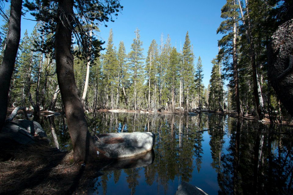
The flowing river near our camp site the 2nd night
The next morning we woke up early and set out on our way home.

The hike back out
A picture showing how many fallen trees we had to climb over
The final uphill portion of the trail to the car was one of the longest and toughest climbs of the trip for me.

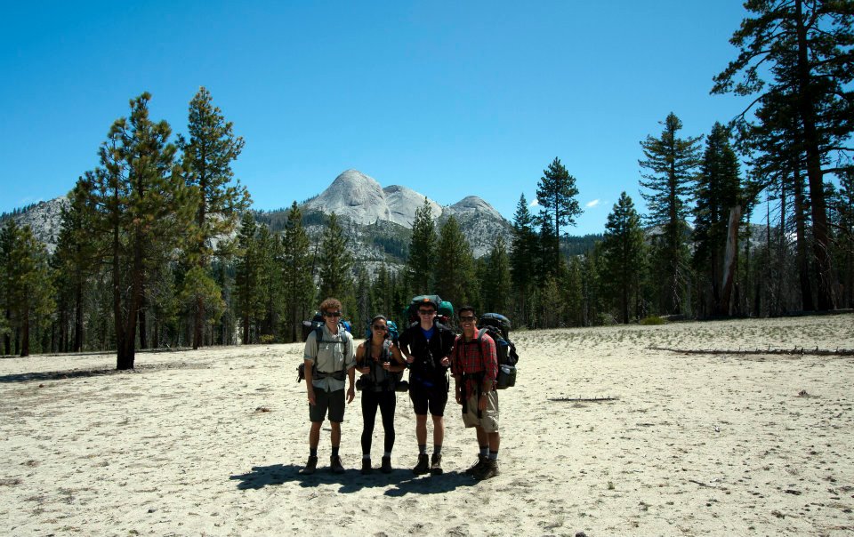
A group picture at the end of our hike
Still hot and sweat, we stopped to pick up some ice cream on our way out of the park . We each got an It's-It, and if you haven't tried it before, it's my favorite! It was a well earned treat to top off a great backpacking trip.

Holding our proud ice cream sandwiches in front of the store