Such a classic Yosemite hike, the Pohono Trail traverses the southern rim and offers some of the best views of the valley you’ll find. The entire trail is 13 miles from end to end, but with multiple starting/exit points, there is a hike variation that works for everyone. There are several different viewpoints and options for campsites, each with its special perspective of the iconic granite formations that Yosemite has become known for.
The majority of visitors that come to Yosemite will drive the loop at the bottom of the valley looking up at rocks towering above, some even make the drive out to Glacier Point to get out to snap a photo at the railing. But by putting in a little extra work by backpacking this trail, you’ll get to witness serene sunsets and sunrises away from the crowds of the main viewpoints - my favorite part about backpacking
Affiliate disclaimer: this article includes some affiliate links, which means I may earn a small commission on any purchase made - at no additional cost to you. As always, all opinions are my own. Thank you for supporting the work I do to keep creating meaningful content like this for you!
Backpacking info
Dates hiked: Oct 15 - 17
Miles: 6.12 round trip (with a 13.5 mile day hike to Taft Point)
Trail type: out and back, can also be planned as a one way with a shuttle
Permit: required for all overnight trips
Trailhead: Google Maps

Mileage and elevation change from Tunnel View to Old Inspiration and back

Mileage and elevation change from Old Inspiration Point to Taft Point and back
Permits
From roughly April to November (depending on that year’s season dates), permits are required for overnight trips in Yosemite. Yosemite’s wilderness permit reservations are issued via Recreation.gov by reserving online, or if far enough in advance via a lottery system.
Outside of this season, permits are issued via self-registration stations in the park.
No available permits?
If you are having difficulty finding available permits, you can sign up to track specific dates and be notified of any cancellations via Outdoor Status.
Permit pickup
Make sure to also factor in plans to pick up your permit from one of the wilderness permit stations during their operating hours.
Here’s my blog post all about reserving backpacking permits and their deadlines
Trailhead options
If you are hiking when Glacier Road is open, you can either start from Tunnel View, Glacier Point, or McGurk Meadow, which gives you three permit options to apply for. McGurk would be the easiest in terms of elevation, and you could plan a quick overnighter using this trailhead.
We started from the Tunnel View trailhead in the valley since we hiked so late in the season after there was no overnight parking allowed on Glacier Point road. If you plan to hike very early in the season before Glacier road opens or after October 15 when overnight parking is not allowed on Glacier Road, the Tunnel View trailhead is your only option. Click here for historic dates for when Glacier Road opens.
Note that Glacier Road is planned to be closed for all of 2022 and construction is expected to last through 2023. Click here for more info on the Glacier Point Road project
Route options
Since there are so many great campsites and multiple trailhead options, there really is a route for everyone. You could:
Classic Pohono Trail hike - start at Glacier Point and hike one way all the way down to Valley View (shuttle required)
Best for beginners/those short on time - hike in via McGurk and camp at Dewey Point
Off-season/when Glacier Road is closed (what we did) - start at Tunnel View and hike up to the first available campsite
You can also do some combination of the above, and if you are able to bring two cars to set up a shuttle that opens up additional one-way options.
Don’t forget to pack


In Yosemite, you’re required to use an approved container for storing food and scented items for all backpacking trips. I love the clear BV450 for smaller trips or the larger BV500 for longer trips or more people. I bring these on 90% of my backpacking trips since I mostly backpack in CA and have found them worth the investment. They also keep other small critters out!
You can also rent one from any Yosemite wilderness permit station, which you can do when you pick up your permit.
Here’s my blog post about everything I pack for a weekend backpacking trip
The trip
After picking up our permit from the Big Oak Flat information station Friday afternoon, we parked at the lower lot of the Pohono Trail, which is also shared by the popular Tunnel View. There are two parking lots here and parking can be challenging during popular summer days or sunsets as most people are here to snap photos from Tunnel View.
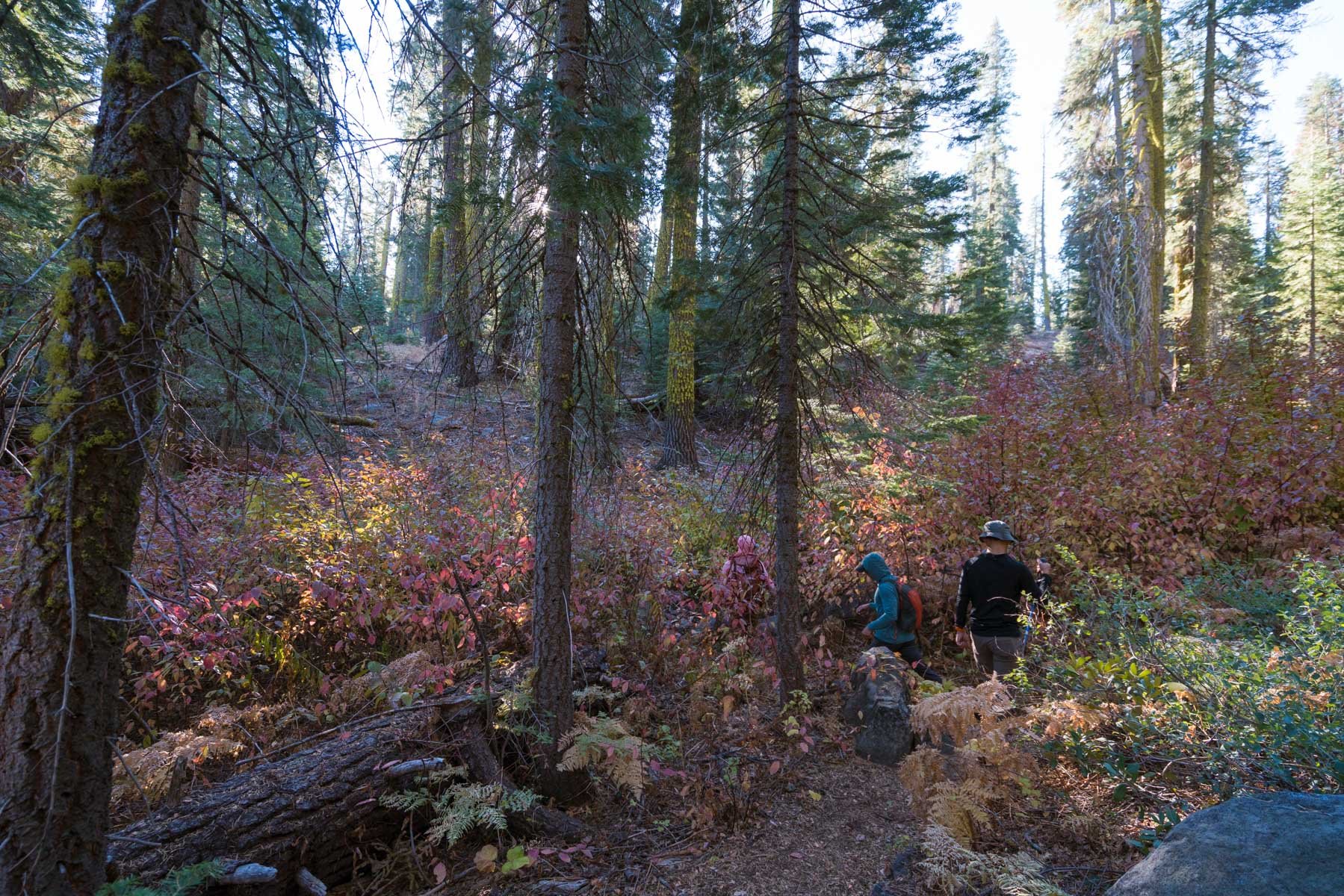
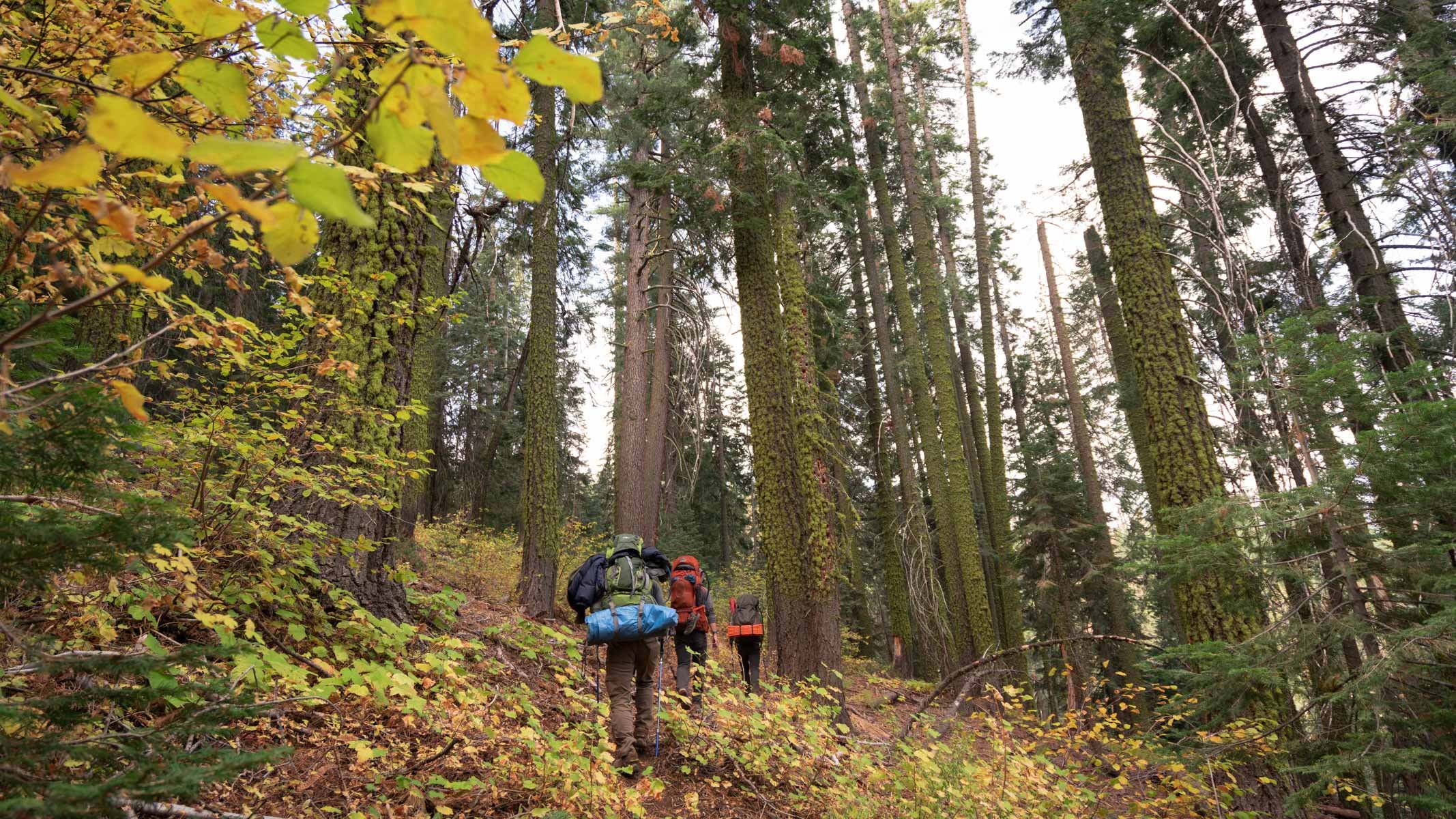
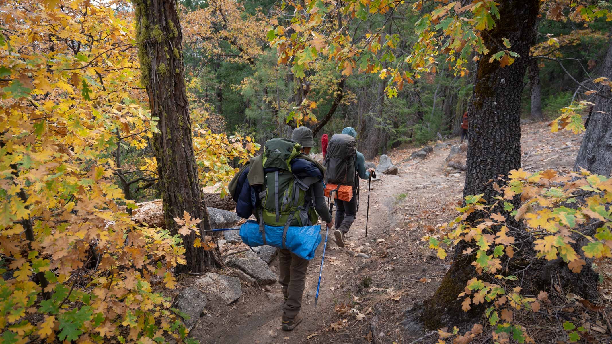
Once we loaded up our packs, we left the crowds and started trudging along the uphill trail, passing several other day hikers.
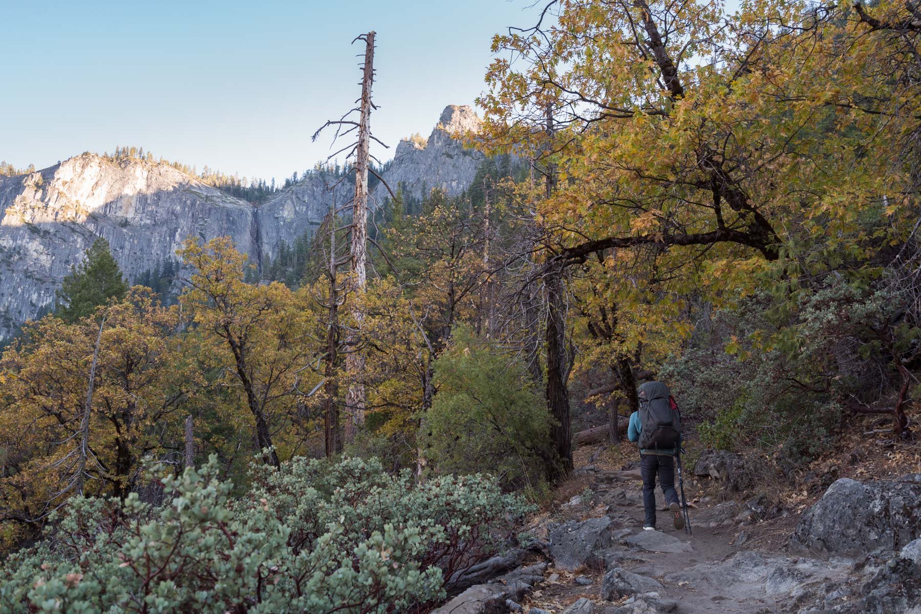
Since this trail is popular with day hikers looking for a different vantage point of Tunnel View, there are several unofficial forks and turnoffs from the main trail. It can be helpful to have your GPS or map out to make sure you stay on the main trail.
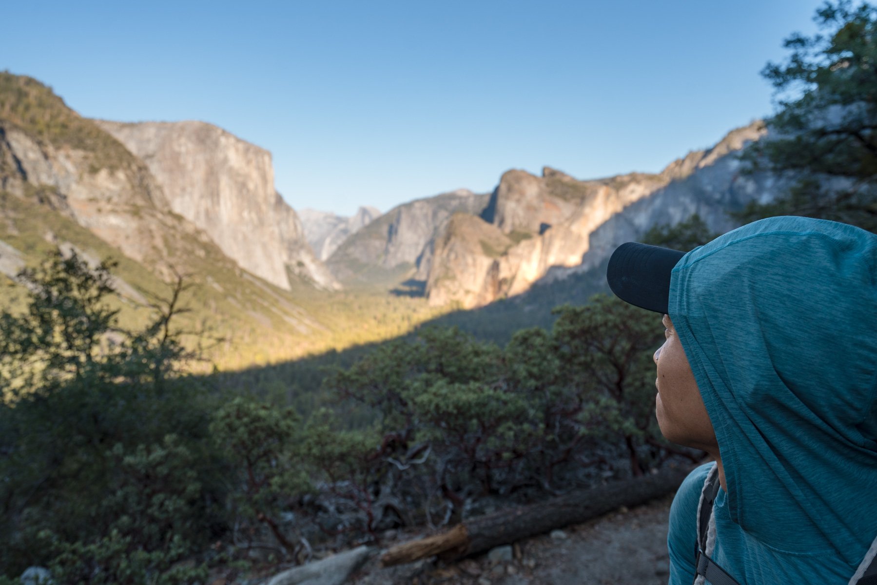
About 1 mile in you’ll reach a clearing that resembles an old parking lot. You can turn off the Pohono Trail and follow a short path down to Inspiration Point, which I think is a better view than Tunnel View.
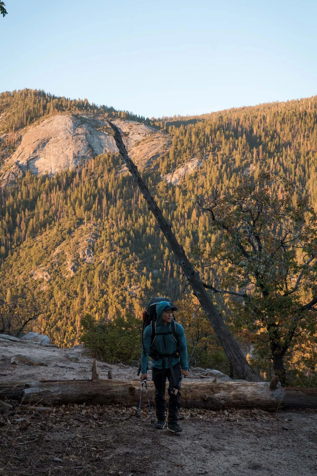
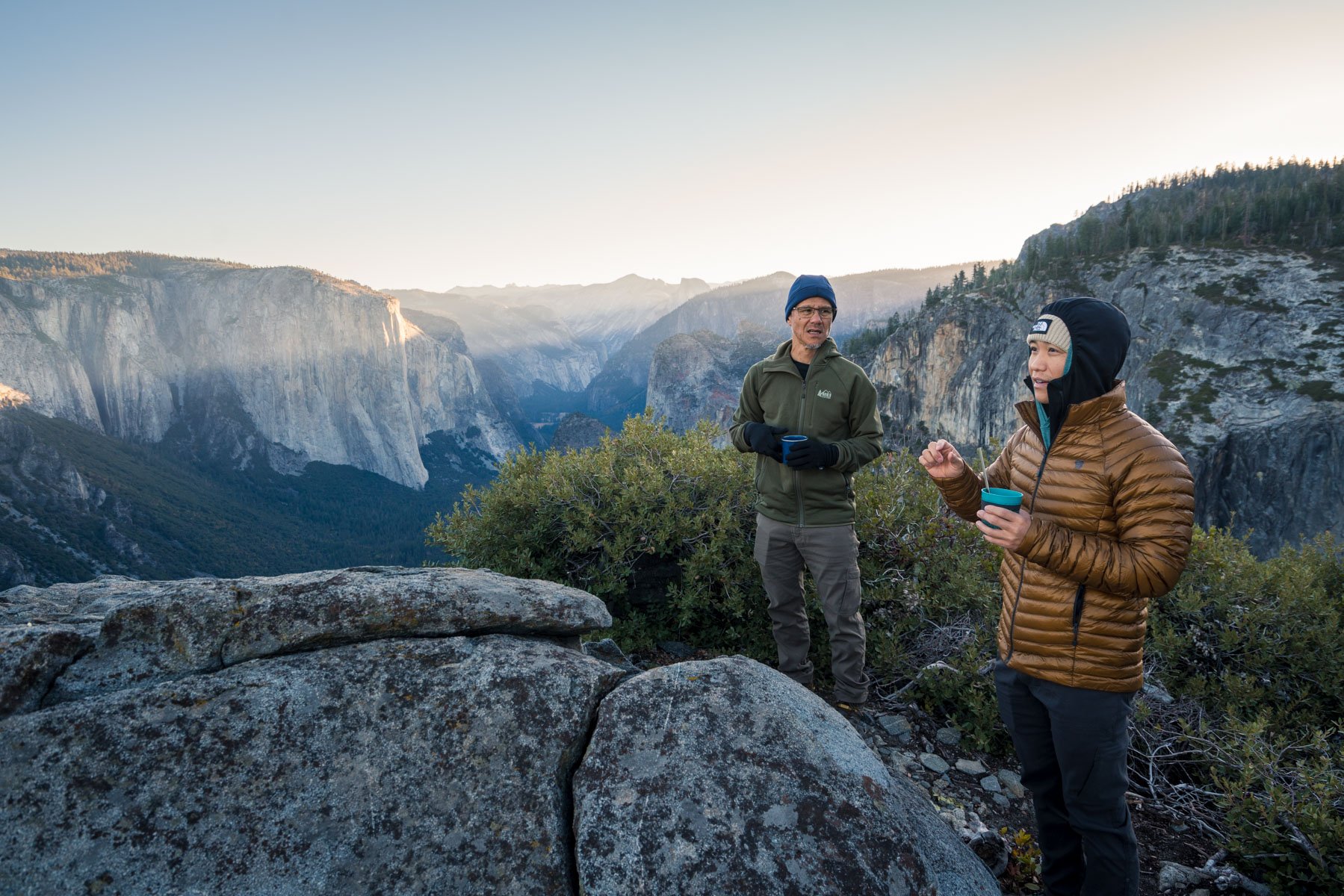
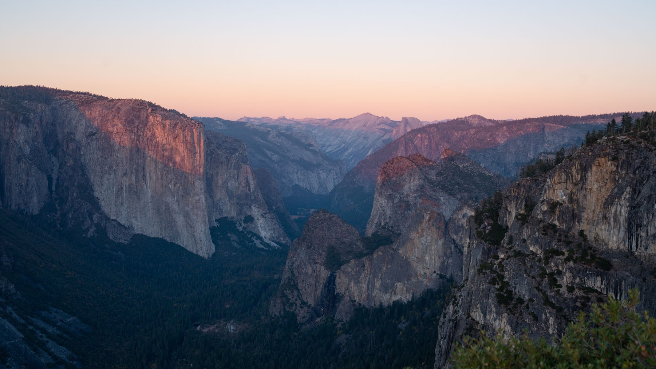
We were able to catch some amazing golden light from Inspiration Point as the sun was setting, lighting up El Capitan, a trickling Bridalveil Falls, and even Half Dome in the distance. We returned to the trail and kept heading up the hillside as the sun finally set, passing through some last fall colors in the dark.
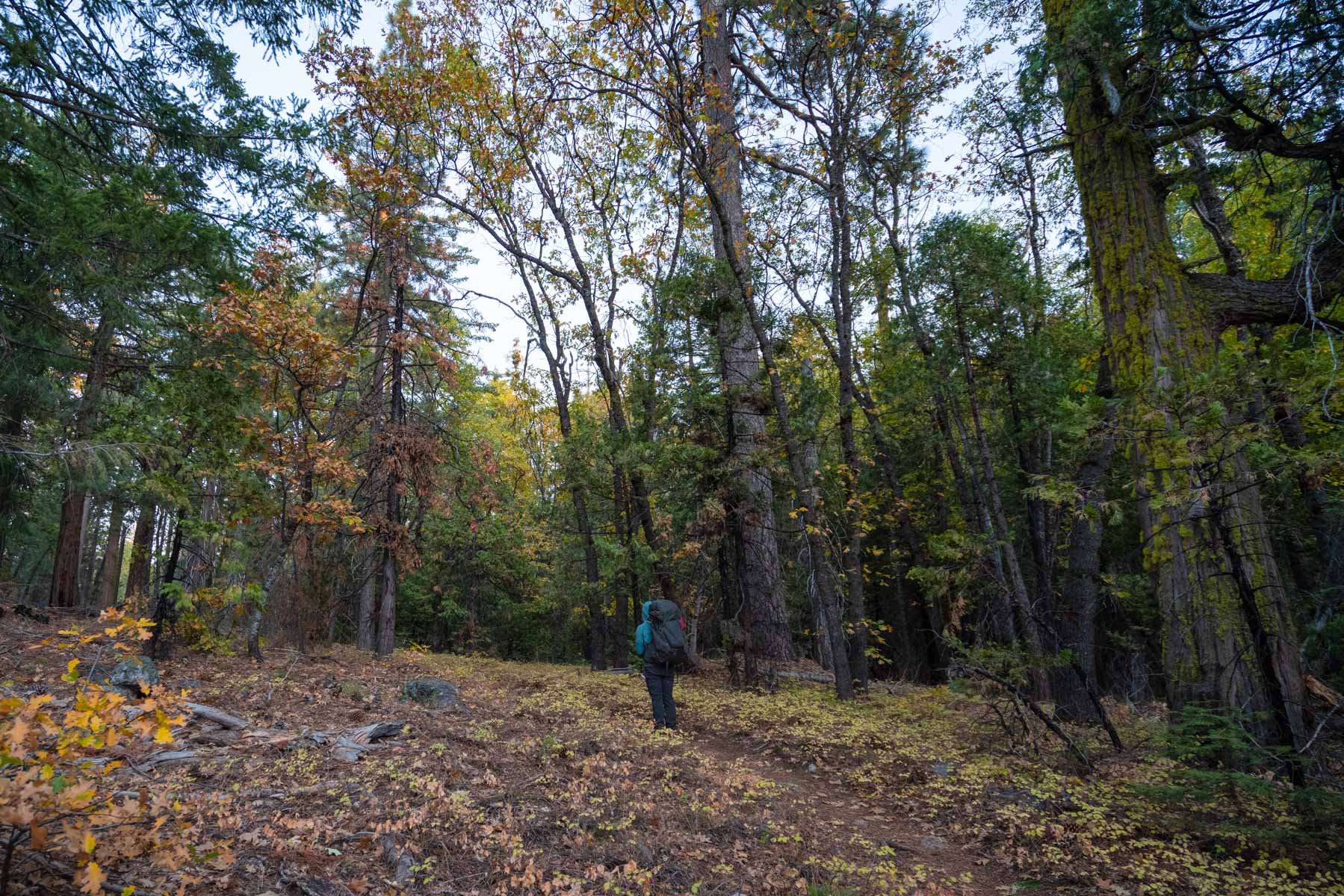
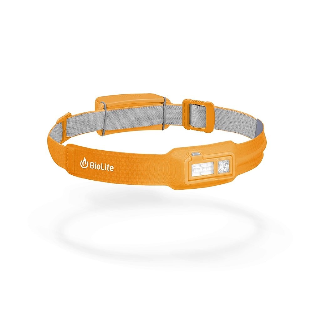
We pulled out our headlamps as we entered the darkness of the thicker trees, only occasionally getting a glimpse of the valley in the distance through gaps in the trees.
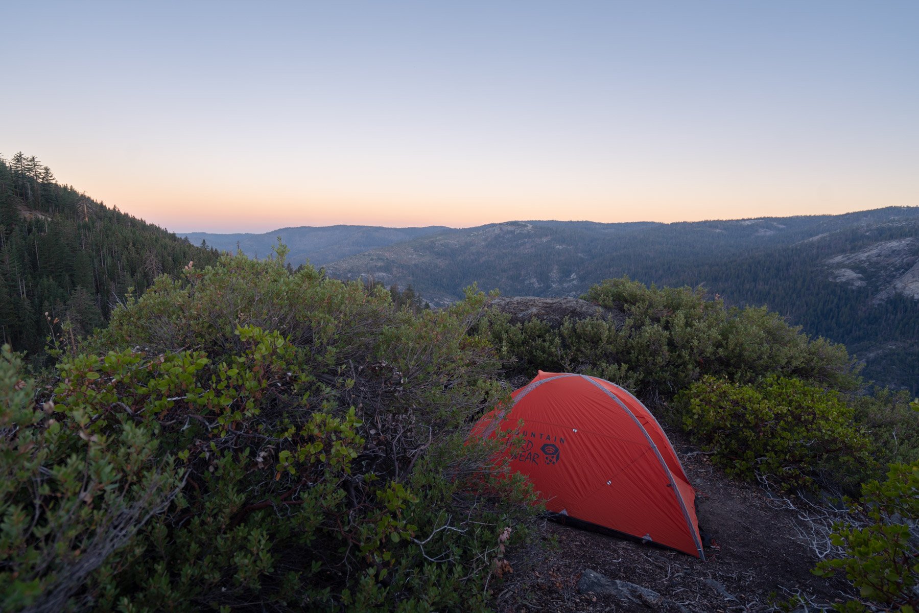
We originally had planned to hike in four miles to camp at Stanford Point, but we weren’t sure if there would be open campsites there this late on a Friday, we were ready to set up camp after driving all day, and we were tired from 2200 foot climb up from the valley floor. After studying the map, we decided to try our luck at Old Inspiration Point to see if we could find a spot to camp there.
Turned out to be one of my favorite campsites that I’ve ever camped at. With the full moon out, we could already see what a view we had before our campsite.
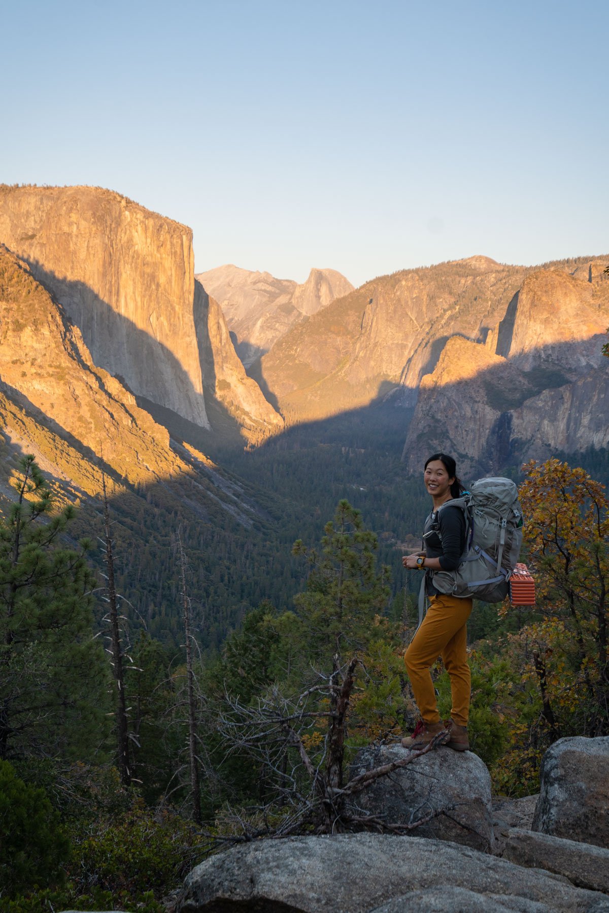
When we emerged from our tents in the morning, the first thing we were greeted with rays hitting the top of El Capitan. Talk about coffee and breakfast with a view!

Our first view from our campsite in the morning
Instead of moving campsites, we decided we would camp here again the next night and just do a long day hike to Taft Point and back. We felt light with just our daypacks as we started back on the Pohono Trail to Stanford Point.
Only one mile away, we quickly reached Stanford point as we emerged from the trees. There were several options for campsites with wide-open views down the valley.

The view from Stanford Point
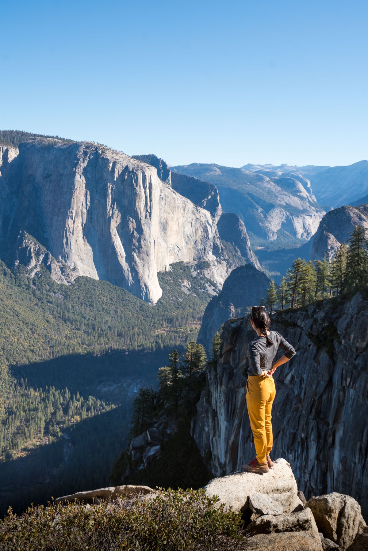
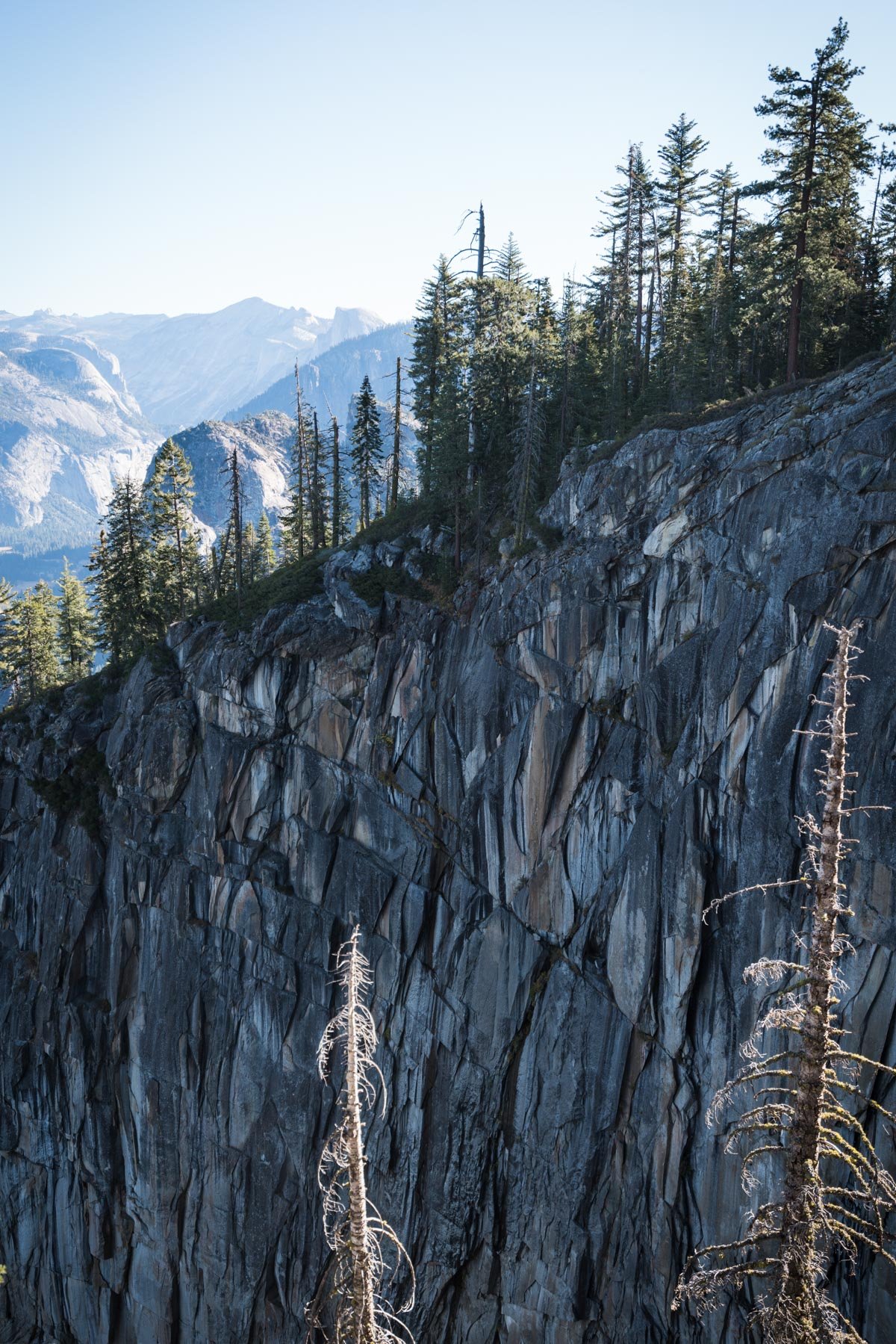
We relaxed in the sun here for a little before continuing along the Pohono Trail, following the curve of the cliff to Crocker Point only a short while further. Even though we were looking at the same valley from slightly different angles, the rock jutting out over the valley felt a lot more sheer and impressive. You could see El Capitan, the Cathedral Rocks, Sentinel Dome, and Half Dome more clearly as we got closer.

Walking out to the end of an exposed Crocker Point

We could even spot the cars driving on the road on the valley floor from up here from Crocker Point
The cliff edges here definitely made my stomach drop a little since you could see so far down by just peering over the edge. From here it was only a short 0.6 miles to Dewey Point.
There were many campsites here, but I was glad we didn’t move our camp here as intended since it saw a steady stream of day hikers, being easily accessible from Glacier Point Road. We passed through quickly and continued along the trail down the hillside down into a ravine to look for water.

Sunbathing along Bridalveil Creek, the most reliable water source on the Pohono Trail
Being so late in the season, all the water sources so far had been dry. We were glad to have reached a steadily flowing Bridalveil Creek. Here we soaked our feet, ate lunch, watched the fish in the creek, and took a nap in the sun. After we filled up our bladders, enough for the rest of the day and tomorrow’s hike out, we headed the last two miles all uphill to Taft Point.

The sheer drop off at Taft Point with its small railing at the top
Taft Point was quite popular with lots of groups of day hikers wandering all over the rocks. We enjoyed marveling at the deep fissures in the rock and the sheer drop-offs before starting on our seven mile hike back to camp.
Click to read my blog post about day hiking to Taft Point and the fissures
We arrived back at camp just in time to catch the last of the sun’s fiery glow on the valley before us. As blue hour hit, we looked for rock climbers turning on their headlamps, blinking as they moved about on the wall. It was incredible to see at least a dozen climbers on various big walls and cliffs on both sides of the valley, giving some actual sense of scale to how large those rock faces were.
Sunset from Old Inspiration Point
The next morning we took our time enjoying breakfast and packing up as we only had a short three mile downhill hike back to the car.

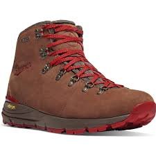
Morning valley views from camp. Gear: Alder Apparel pants and Danner 600 boots
Back at our cars, we headed home back to the Bay Area. I was super thankful for the surprisingly warm weather for mid-October as we were dreading the sub-freezing temperatures. This was one of my favorite trips of the season, and I’d love to do a similar trip on the north rim!
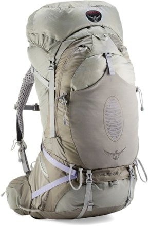
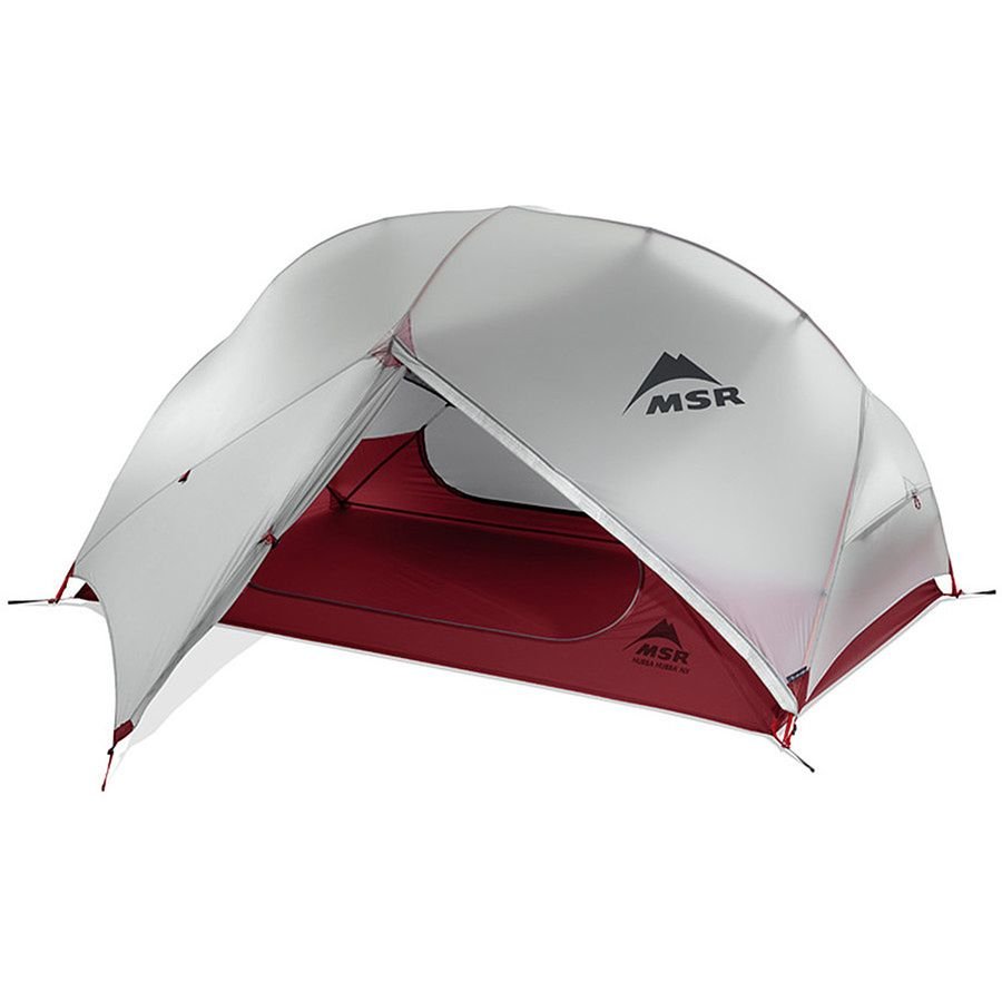
Favorite gear for this adventure: