We wanted to squeeze in one more trip before the season ended, so we chose Desolation Wilderness because of it's proximity to the Bay Area, and we decided on Lake Aloha and Mount Price along the PCT.
With an adventurous rock scrambling climb up to the 2nd highest peak in desolation, you can get an amazing view of Lake Aloha and all of its unique islands!
Backpacking Trip Info
Dates: 10/7 - 10/9
Miles: 20 roundtrip
Elevation Change: 3525 ft
Trail Type: Out and back
Parking Lot: Google Maps
Our three day backpacking trip map from Echo Lakes to Mt. Price and back
Day 1: Elevation and trail info from Echo Lakes trailhead to our campsite right before Mosquito Pass
Permits
Permits are required for all overnight trips. Aloha Lake is in Desolation Wilderness zone - #33. You can reserve 18 spots ahead of time online at Recreation.gov, and 18 spots are available for same day walk in. For day hikers, you can self issue a permit at the trailhead.
Lake Aloha is arguably the most popular lake in Desolation and permits can sell out in a matter of minutes, so mark your calendar!
Click here for all the important dates for booking CA backpacking permits
No available permits?
If you are having difficulty finding available permits, you can sign up to track specific dates and be notified of any cancellations via Outdoor Status.
The Backpacking Trip
Parking lot that fills up on weekends
Walking down to the start of the trail
After camping at Sand Flat Campground the night before, we packed up and headed to the Echo Lakes trailhead to start our hike in. During the peak season, a water taxi runs from the TH to upper Echo Lake, which could save you 5 miles round trip (be sure to bring cash and coins for the pay phone on the way back).
The taxi wasn't running at the time for us, so we ended up hiking along the emerald green Lower and Upper Echo Lakes. Most of our hike would be relatively flat, as the difference between Aloha Lake and Echo Lakes is only around 700', but a lot of the trail was rocky terrain, which made for slow climbing.

Hiking along the flat trail by Lower Echo Lake
The start of some of the switchbacks
A lot more rocky switchbacks to climb

Stopping at beautiful Tamarack Lake for lunch
As the trail beings to wind through the forest, we encountered several patches of snow and ice. We passed several junctions for the other lakes in the area like Lake Lucille, Lake Margery, and Lake of the Woods. It was only 5 miles from the TH to the south shore of Lake Aloha, but we continued along the eastern side of the shore (passing Lake LeConte and Heather Lake) for another 1.5 miles before veering off the PCT to find a campsite that got us closer to Mosquito Pass.
Patches of snow along the trail
Hiking along the dried up shore of Lake Aloha

Hiking along the PCT and the eastern shore of Lake Aloha
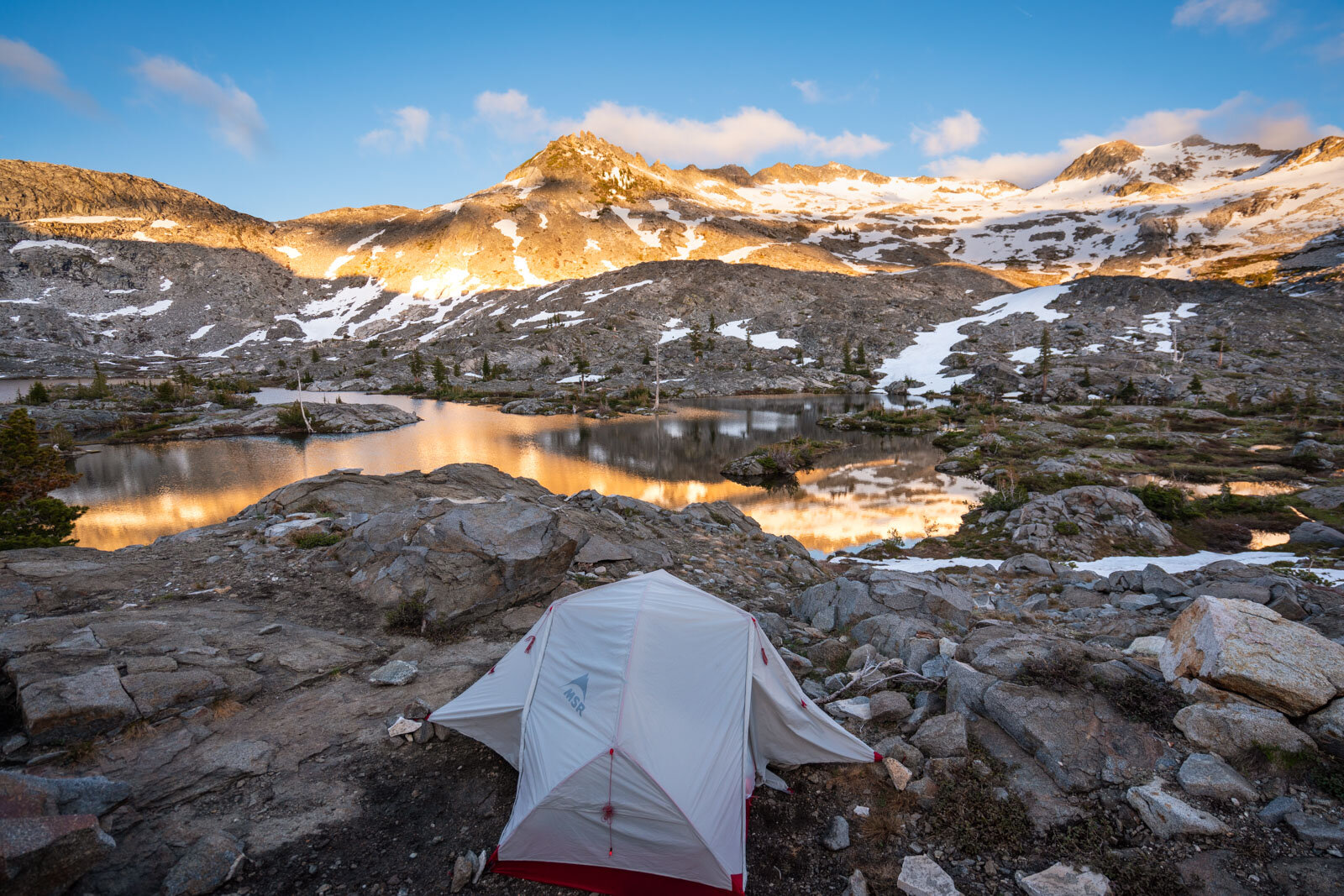
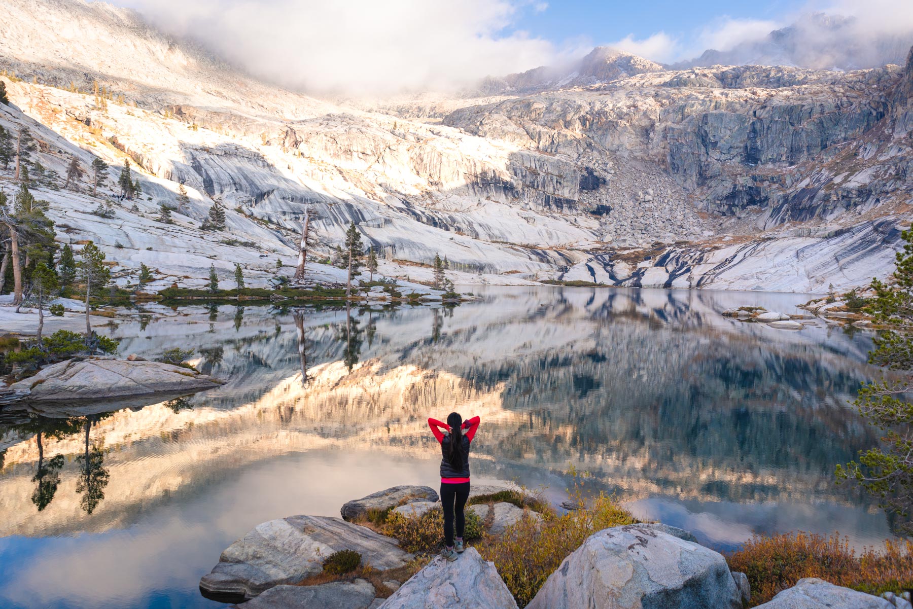
Lake Aloha is a special lake in that there are hundreds of rock islands throughout the length of the lake, and since the water level was extremely low this late in the season, the islands were more apparent than normal. We ended up setting up camp at a great campsite complete with benches and even a log wind wall before being treated to a vivid pink sunset.

Rocky island formations by our campsite

Perfect reflections

Enjoying a classic pink Sierran sunset from our hammock
Views of Lake Aloha from our campsite
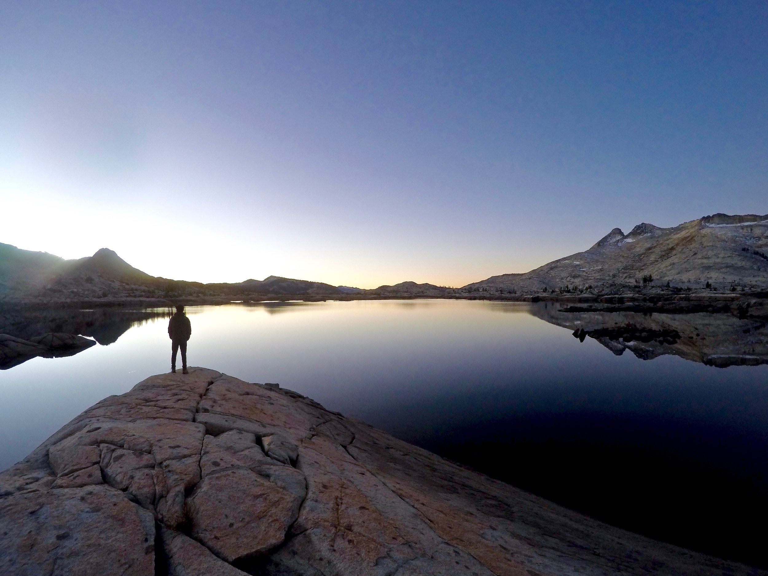
We were expecting temperatures to drop below freezing, but that night was one of the nicest nights I've experienced backcountry - there was absolutely no wind at all. The next morning we woke up and prepped for a long day of hiking. Our goal was to summit Mt. Price, which sits 2000 ft above our campsite.
Day 2: From our campsite to the top of Mt. Price and back
We set off and continued along the trail that climbs 200 ft up Mosquito Pass. Once we reached the top, we started our off-road adventure and headed straight up the mountain.
Climbing above the tree line above Mosquito Pass
Lake Aloha getting further and further away

Having some fun scaling up some of the slickrock
Exhausted from the 'slabs of insanity'
We didn't have a specific route up the mountain, but we aimed for one of the lower points to the right of the peak and made several large switchbacks to avoid the large patches of unstable rocks. The climb up was long, as it took a lot of energy to find stable footing on the steep slope of loose rock.
Crumbly, rocky terrain on the final ascent
The lowest notch to the right of the peak

Panorama looking on both sides of the ridge
Finally made it to the notch! Time to traverse to the peak
Taking a break on the ridge.. just a little bit more to go
Traversing the ridge was a challenge, and at points we would hit an impasse and have to climb down the back side of the ridge and try to cross over. After 2.5 hours of climbing/rock scrambling from Mosquito Pass, we made it to the peak of Mount Price at 9,975 feet. From up here we could see a dozen lakes on both sides of the ridge, and we couldn't even spot our bright orange tent along the shore of Lake Aloha, which looked quite dry from up here.
Made it! Views of Lake Aloha from the summit
Looking out on the other side
After having lunch at the top (click here for my favorite foods to pack!), Vince and I decided to head down while Ed continued along the ridge to summit Mt. Agassiz (9,967 ft) and Pyramid Peak (9,983 ft), that peak bagger. The climb down was a lot more exhausting and tedious than the climb up, and we slipped a couple times because of the loose rock, melting snow patches, and steep incline. A couple times we would find ourselves looking down at a drop off, and we'd have to cut across to make our way around. From leaving the peak, it took us a total of 3 hours to get back to our campsite, and Ed showed up about 3 hours later.
That night there was a slight breeze, but it was still a warm night in the tent. The next morning we woke for sunrise before making breakfast and hiking out.
Our feet were sore from the day before, but it only took us about 4 hours to hike back to our car. On the way out, the trail was crowded with tons of day hikers, kids, and dogs enjoying the views around Echo Lakes. For my first trip to Desolation and my last trip of the season, it was the perfect balance of palm-sweating mountaineering and perfect lake views.
Looking to backpack Lake Aloha in the winter? Check out this post by Paulina from Little Grunts
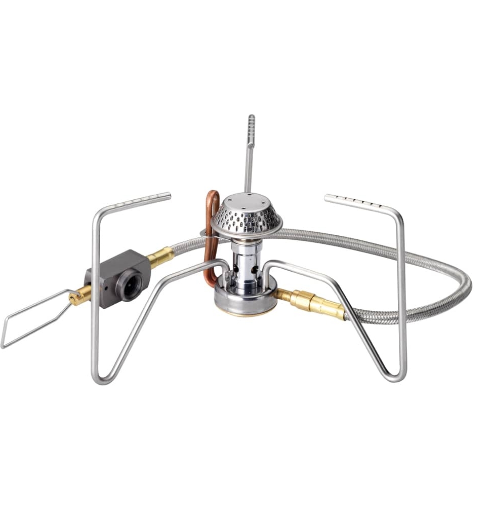
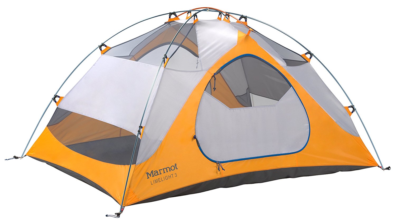
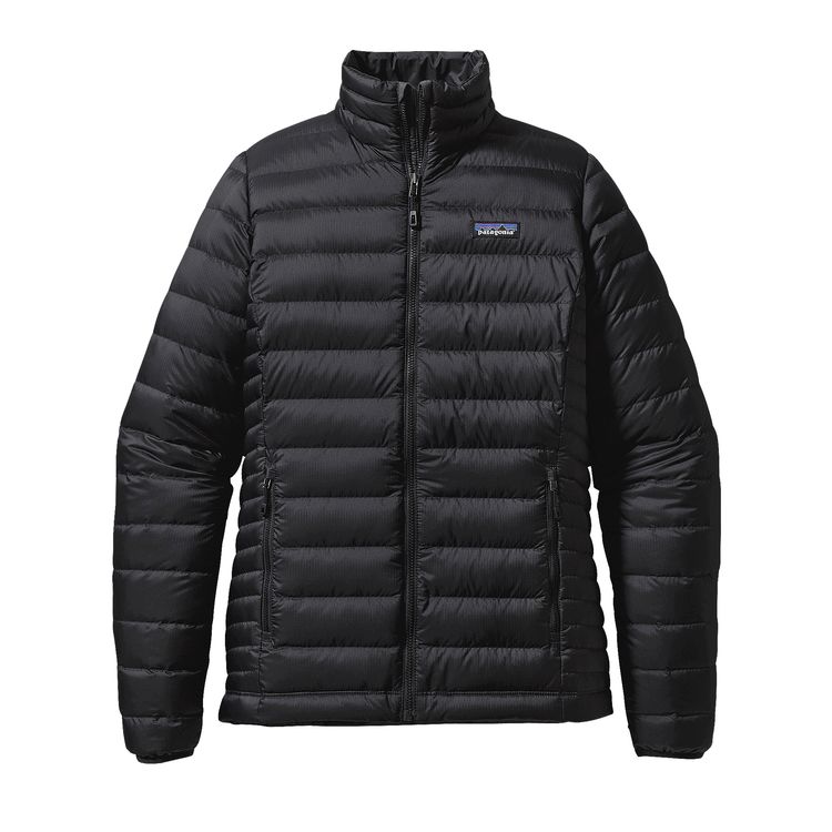
Favorite gear for this adventure