Kearsarge is one of the shortest and easiest access points from the eastern side (only 4.7 miles to Kings Canyon National Park), and the view from the pass was one of the most memorable views of the Sierra to date.
Wary about the recent storm that dropped snow all over the Sierra, we dropped our Mt. Whitney plan and decided to finally hike Kearsarge Pass in hopes of avoiding the snow and nasty weather. We had a great overnight jaunt into the mountains with some truly impressive views, and the unsure weather ended up bringing some great cloud backdrops to the Sierra.
Backpacking Trip Info
Dates: 5/25 - 5/27
Miles: 12 roundtrip
Trail Type: Out and Back
Trailhead: Google Maps
Permits
Permits are required for all overnight trips. These can be reserved online through Recreation.gov. If planning a trip for a summer weekend, you’ll definitely want to wake up early to book exactly 6 months in advance.
Click here for permit dates and deadlines for booking CA backpacking permits.
No available permits?
If you are having difficulty finding available permits, you can sign up to track specific dates and be notified of any cancellations via Outdoor Status.
The Hike
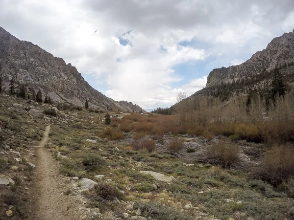
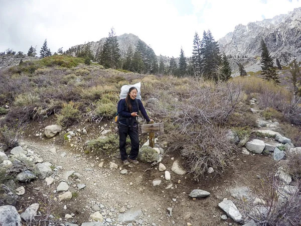
The drive up to the Onion Valley trailhead at 9,185 feet was steep and windy, As we reached the trailhead around 3PM, we threw all food and scented items in the bear cans, wrapped some trash bags over our packs, and started up the trail as the rain began to lightly sprinkle down on us. The trail climbed straight up with switchback after switchback, and the view looking back down into the sunny Owens valley was quite impressive. We hiked slowly since we were definitely feeling the elevation, having come straight from sea level that morning.


We spotted several long and tall waterfalls cascading from the nearby hillsides, and the rolling, thick clouds brought random spurts of light rain. After 1.4 miles, we reached our first lake - Little Pothole Lake, and then another 0.5 miles brought us to Gilbert Lake.
Looking out over Gilbert Lake and the valley that we came from earlier that day
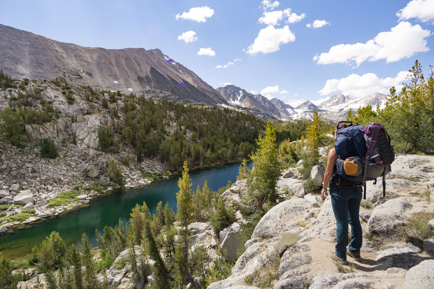
After circling the north side of Gilbert Lake and seeing Flower lake through the trees, we saw a wooden sign pointing towards Matlock Lake to the South. A short wooden log crossed the stream, and we encountered our first patches of snow while climbing the ridge before dropping into the basin containing Matlock Lake.
We frequently lost the trail and switchbacks under larger and larger mounds of snow, and we post-holed up to our knees in the slushy areas. Although the hike was short, we were so relieved to reach the top of the ridge and spot our destination for the night.
The ridge between Slim Lake (left) and Matlock Lake (right)
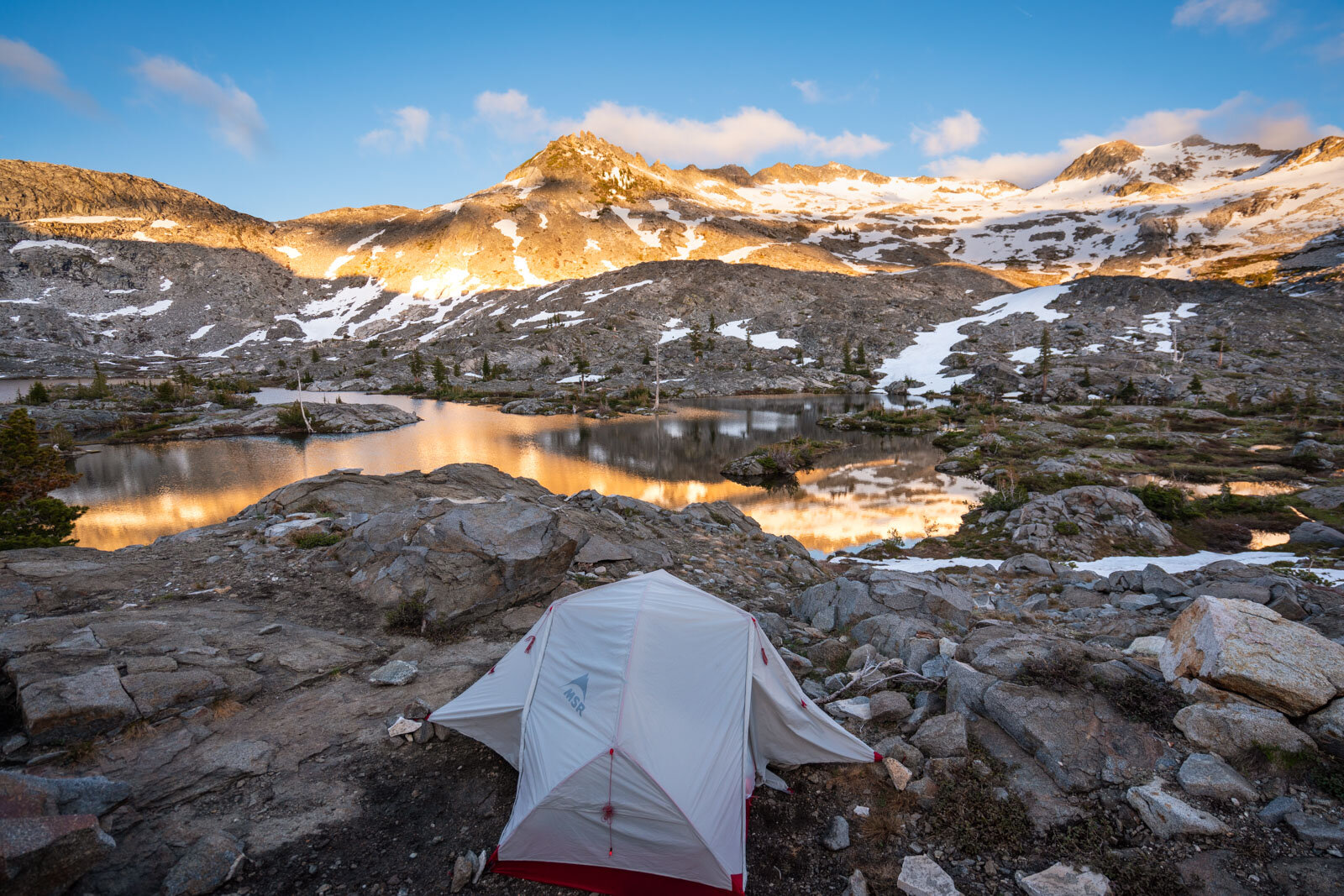
We dropped our packs and circled the northeastern side of the lake looking for the perfect camp spot. We hadn't seen a single person on the hike up, so we were excited to have the best pick. We pitched our brand new REI Half Dome tent under the rolling clouds, and headed to the beautiful shoreline to refill our water.
Pumping fresh, alpine water - my favorite kind of water! Click here for my review of this water pump
We had an early dinner while watching the sunset over the nearby lake. We loved that our campsite was just a short walk to both lakes. It was a chilly night, so we crawled into bed early since the thick cloud cover meant no stars tonight.
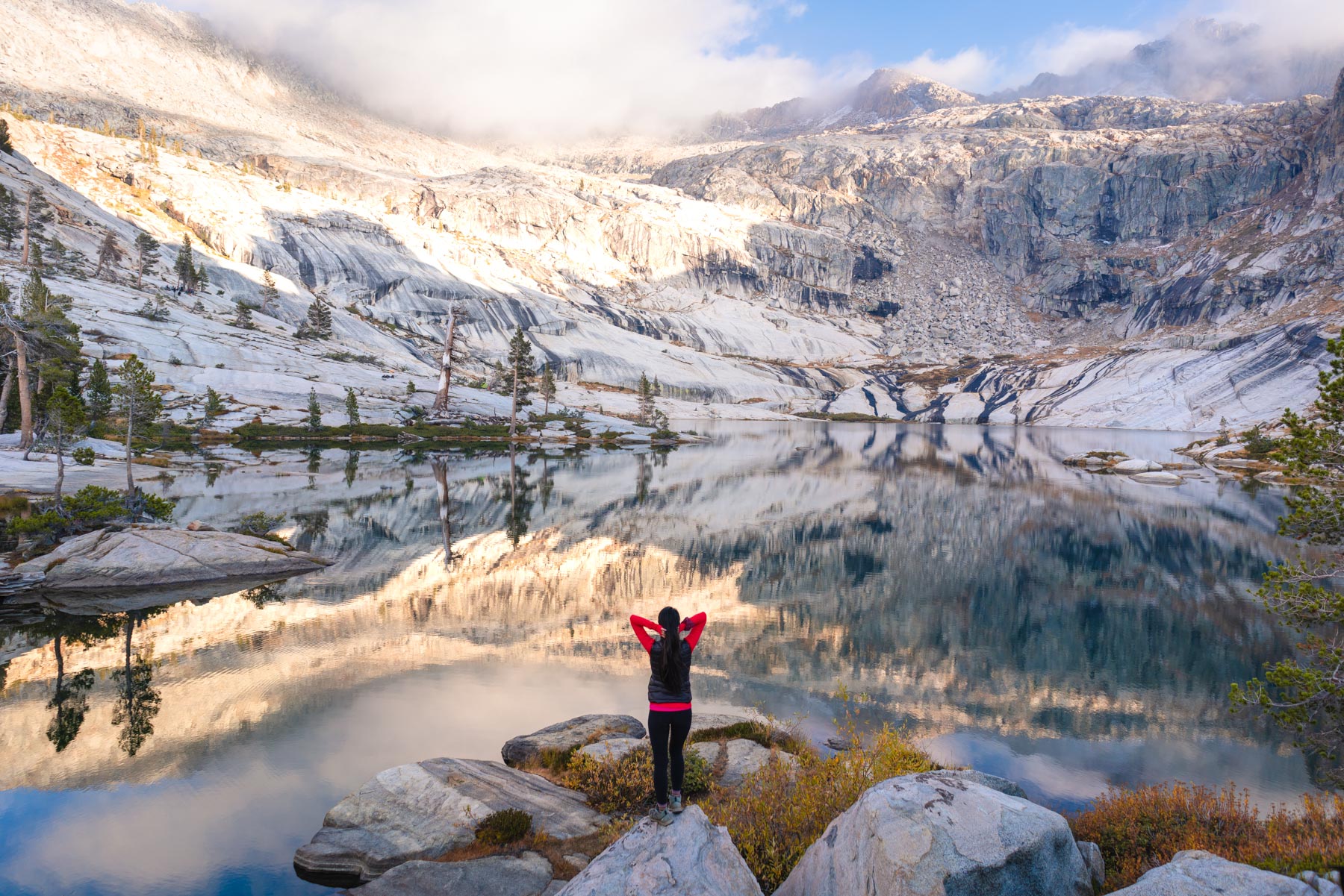
The next morning it was difficult to get out of bed since it was so cold - our tent walls were frozen! The sunrise was just too beautiful to miss over a perfectly-still Matlock Lake.
The rising sun hitting University Peak (13,632')
After breakfast, we packed up our day pack and headed up towards Kearsarge Pass. Even though we didn't have our full packs on, we definitely still felt the altitude all the way up.
Looking over Heart Lake from the switchbacks above
It's a steady uphill climb..
Gaining some elevation by Pothole Lake heading up into some crazy cloud action!
The trail up towards Kearsarge with Pothole Lake to the left was well-maintained and clear of snow
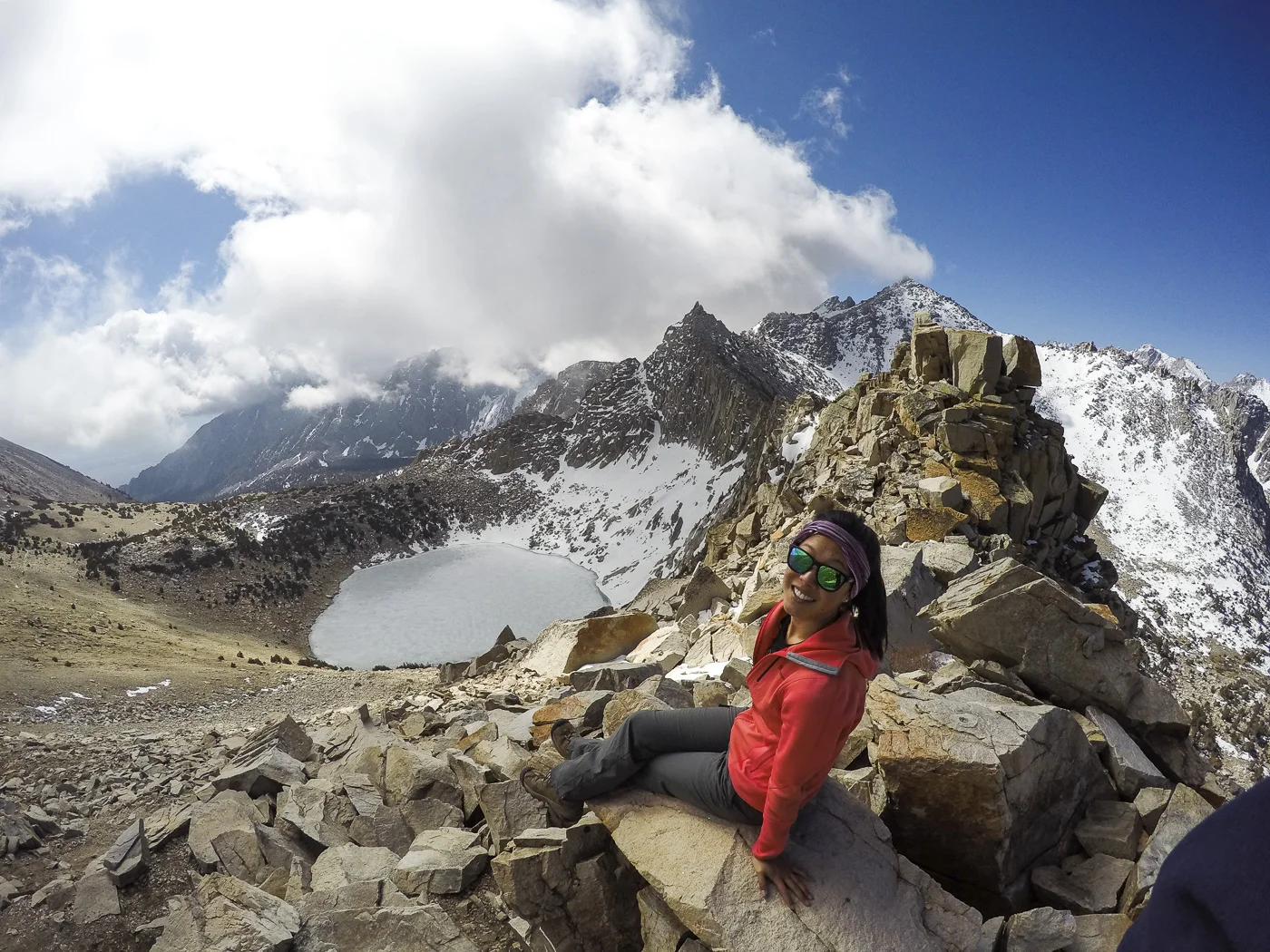
We made it! Looking west over onto the other side of Kearsarge
Watching the clouds form and morph over a frozen Pothole Lake
At 11,760 feet before the trail drops into SEKI
We met many PCT hikers taking a break at the top of the pass before hiking out to Onion Valley to stock up, and it made sense since the it is only 4.7 miles back to the TH from the pass. Many of them had been on the trail for weeks to months, and it was inspiring to see them all loving every minute of it. We hiked back to our campsite in no time at all and had a quick nap in our tent complete with a full sunroof and view of the lake.
Not a bad view to wake up from a nap...
We packed up our packs and started our hike out. The snow covering the trail on the way in had already melted a decent amount, and we sloshed through several large patches of snow before merging with the main trail again. The trail back was all downhill with views looking into Owens Valley, and we were at our car in no time.
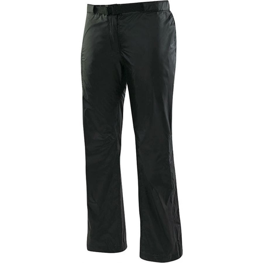
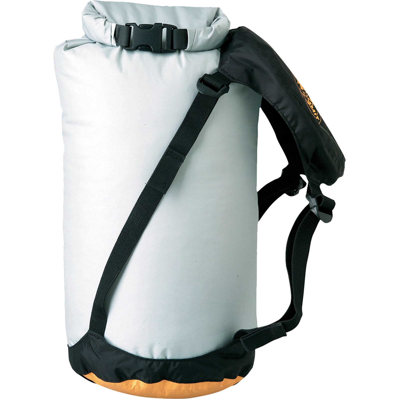
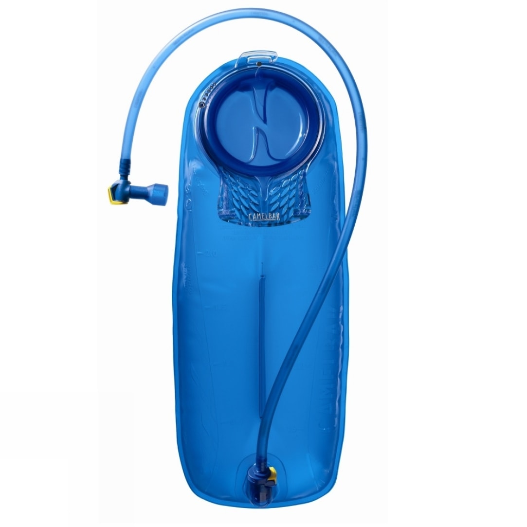
Favorite gear for this trip