Bryce canyon is a relatively small National Park, but if you are in Utah you should definitely make a small side trip to see this unique canyon. There aren't too many trails to choose from, but if you have a couple hours to spare, this easy day hike is the perfect way to see all the best parts of the canyon up close.
Hike Info
Date: 6/23
Miles: 6.5
Elevation: 1770 ft
Trail Type: Loop
Trailhead: Google Maps

Getting There
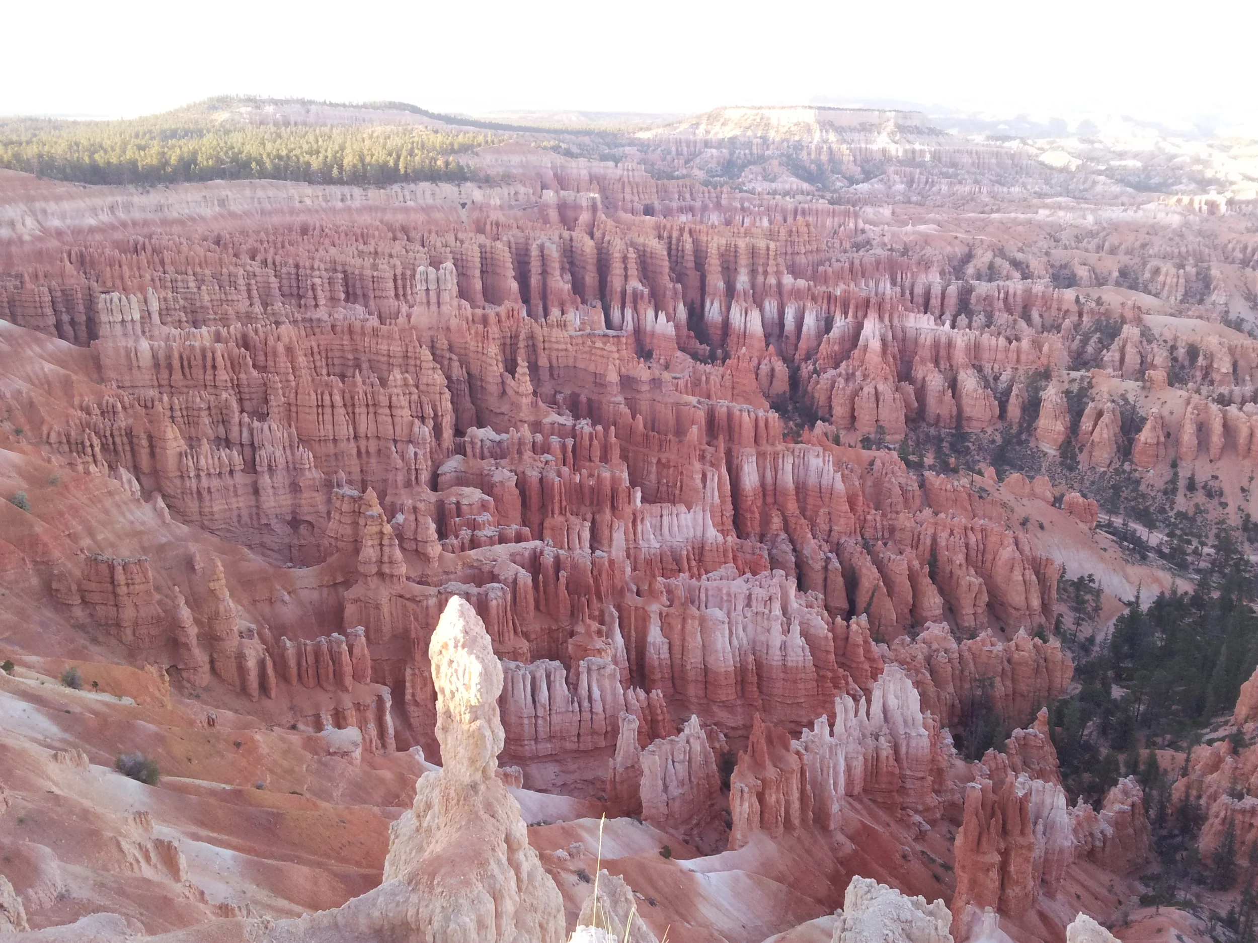
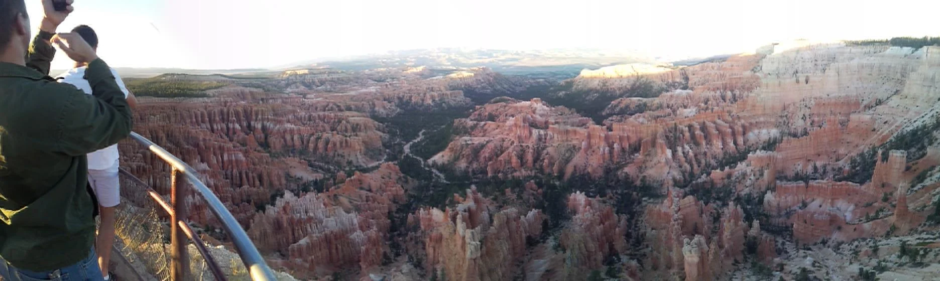
We arrived at Bryce the night before, and we raced the sun to make it to Sunset point to watch the beautiful sunset over the red rock formations. After, we returned to our campground at Bryce Canyon Pines.


The next day we returned to Bryce and chose the Navajo loop in combination with Peekaboo loop based on other trip reports.
The Hike
The trail is well-maintained with not much elevation change, the only downside is that it is quite exposed, dusty, and can get pretty hot in Utah sun. No matter how long you expect to hike, be sure to bring extra water! We stopped to give water to several groups of thirsty people who only brought a single water bottle.

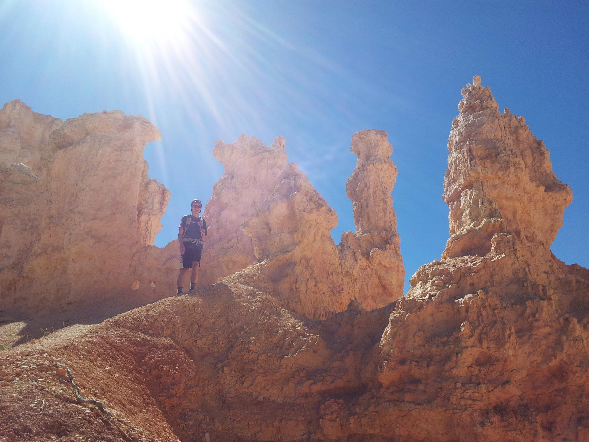
We started at Sunset Point TH and followed the signs for Navajo Loop. The switchbacks take you right to Wall Street, a direct look down a narrow canyon, which is great for photo ops.


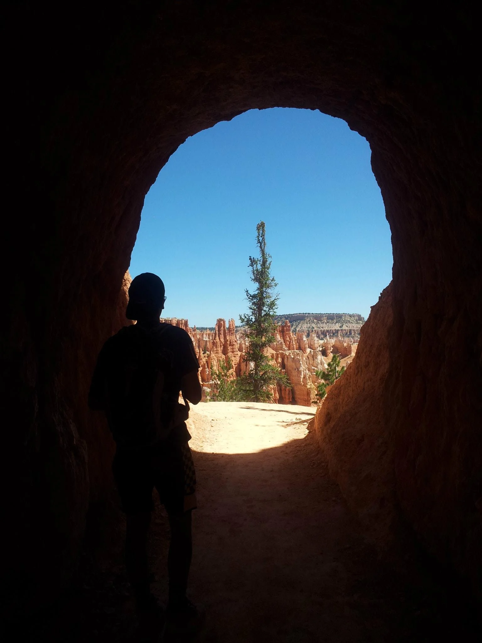
It was much cooler in the shade at the bottom of the canyon, and there was even a very tall tree that had grown up out of the shade.

After 0.7 miles we reached a 4-way junction. We turned right towards Peekaboo loop. After 0.3 more miles we reached another junction, the beginning of the 3 mile slightly strenuous Peekaboo loop. You could then choose to hike it clockwise or counter clockwise.


After returning to the start of Peekaboo loop, we hiked the 0.3 mile back to the junction at Navajo trail. Now we took the trail headed towards Queens Garden. After 1.6 miles, we hit a junction and decided to hike to "End of Trail" to see the Queen Victoria hoodoo. We returned to the trail to hike the last 0.9 miles to the Sunrise TH.


It is then another 0.5 miles back to the Sunset Point TH. Our socks were quite dusty from the hike, but there were numerous photo opportunities and the hike was very easy for how much of the canyon you get to explore. I would highly suggest the Peekaboo loop - it has more elevation change, but there are less people and the terrain is quite different.
Other useful sites:


