I've always heard about the Devil's Bridge hike in Sedona, AZ, but it was always considered as a side trip if we had time after hiking Oak Creek Canyon. This year we finally got around to doing it, and it definitely ranks up there as a short hike with great view payoffs.
This hike is also dog friendly! Sitting on the edge of the natural stone arch definitely made my hands sweat, but it is much scarier looking from the side than it is when you are actually standing on it.
Hike Info
Date Hiked: Oct 23
Miles: 3.6 roundtrip (from Dry Creek Vista Trailhead)
Elevation Gain: 400 feet
Trail Type: Out and back
Trailhead: Google Maps

Devil's Bridge Trail Map
Getting There
From the map above, you can see there are several options to get to Devil’s Bridge. We opted for the easiest, a 3.6 mile roundtrip hike from Dry Creek Vista via the jeep road (Route 1 above). We didn't have a high clearance vehicle to make it down the jeep road, so that added an extra two miles to our total hike.
There is a large lot here (with bathrooms!), but as with any other popular Sedona hike, these lots fill up quite quickly. I’d recommend going as early as possible to snag a spot!
The Hike
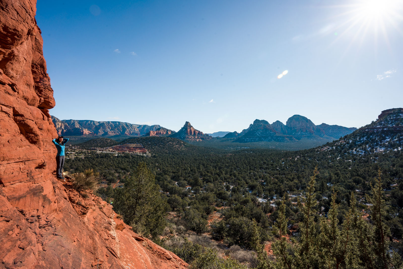
The trail is quite exposed and has great views of the Arizona plains as it rises in elevation. The sun was still low enough to provide Macey some shade on parts of the trail.

Macey waiting for us to catch up

Trail junctions are clearly market
As we reached the wide road that we could have taken if we had a 4x4 car, lots of cars passed us and kicked up the red dust. We were unsure if we were on the right trail until we saw several other hikers coming down the wide road.

Headed towards the red rock mountains, following the signs for the Devils Bridge Trail

The trail starts to switchback as it continues to climb
This was when the trail started to get steep, and we had to stop several times to take a break. It might not seem like it, but you are at high elevation up at 5,000 feet, and you might find yourself easily out of breath if you’re coming from sea level. We soon reached a trail split to either head under the bridge or on top.

Macey posing at an overlook before the steep section

After this plateau the stairs start to get really steep. We found it easier to just have Macey jump up on her own since we thought that having her on leash would pull her back and cause her to fall. The stairs are very stable, but they are narrow, so if the trail is crowded, you might have to wait for some people to pass before heading up.

Macey and Ashley posing from the top of the arch
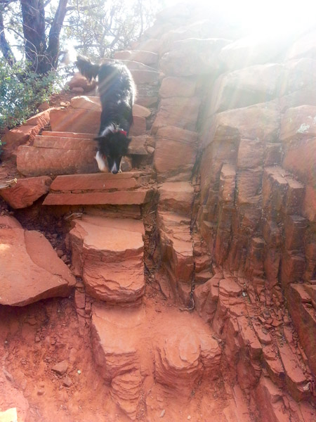
Macey nimbly making her way down the steep stairs
We almost hiked past the bridge, it really comes out of nowhere. It will be to your left as you hike alongside a cliff. It looks quite narrow and thin from the side, but once you are standing on top, it is actually quite wide and not as intimidating since you can't see the drop offs on both sides.
We were lucky that we arrived early and were able to snap some pictures. A large group showed up just as we were leaving, and there was practically a line for people to take turns posing on top of the arch.
Nicely maintained steps in the stone
Me and Macey resting in the last little bit of shade
The hike back was a lot easier since it was all downhill, and the only difficult part was finding the small and unmarked trail from the main dirt road that we originally took. Overall it was the perfect short day hike to spend our final morning in Arizona before heading back to San Diego.