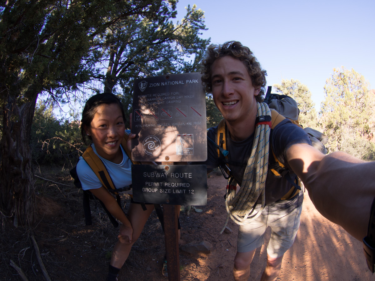
One of the most sought-after day hikes in Utah, the Subway is an amazing semi-technical canyoneering route where you will get to see some of the most unique and iconic features of Zion National Park.
It will take 7-10 hours, but you will cross a variety of terrain and will be rewarded with great photo ops. Permits are hard to come by, a shuttle system needs to be arranged, you will need extensive route-finding skills, you will need to do plenty of research, and the cold water is a big obstacle.
Out of all the hikes we've done in Zion, this was definitely our FAVORITE. Plus, it was only my birthday! What a great present, right? The only other canyoneering experience we had was Orderville last year, so we were excited for some larger rappels.
Hike Info
Date: 10/22/13
Miles: 9.5 miles
Elevation Change: 2285' loss with a very steep 400' climb at the end
Trail Type: Through-hike
Trailhead: Google Maps (Where to leave your car at the exit)
Before You Go
Permits
The Subway requires a permit that can be attained in several ways. You’ll want to go for an advanced lottery, which is offered for trips from Spring to Fall. Permit information on the NPS website.
If you aren’t successful from the advance lottery, you can also try to snag one when they are released on the 5th of the month two months before. I wrote a blog post on important permit deadlines that includes a link to a calendar with Zion canyoneering deadlines.
If you are having difficulty finding available permits, you can also sign up to track specific dates and be notified of any cancellations via Outdoor Status.
Canyoneering Gear
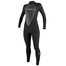
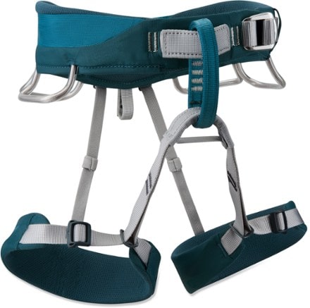
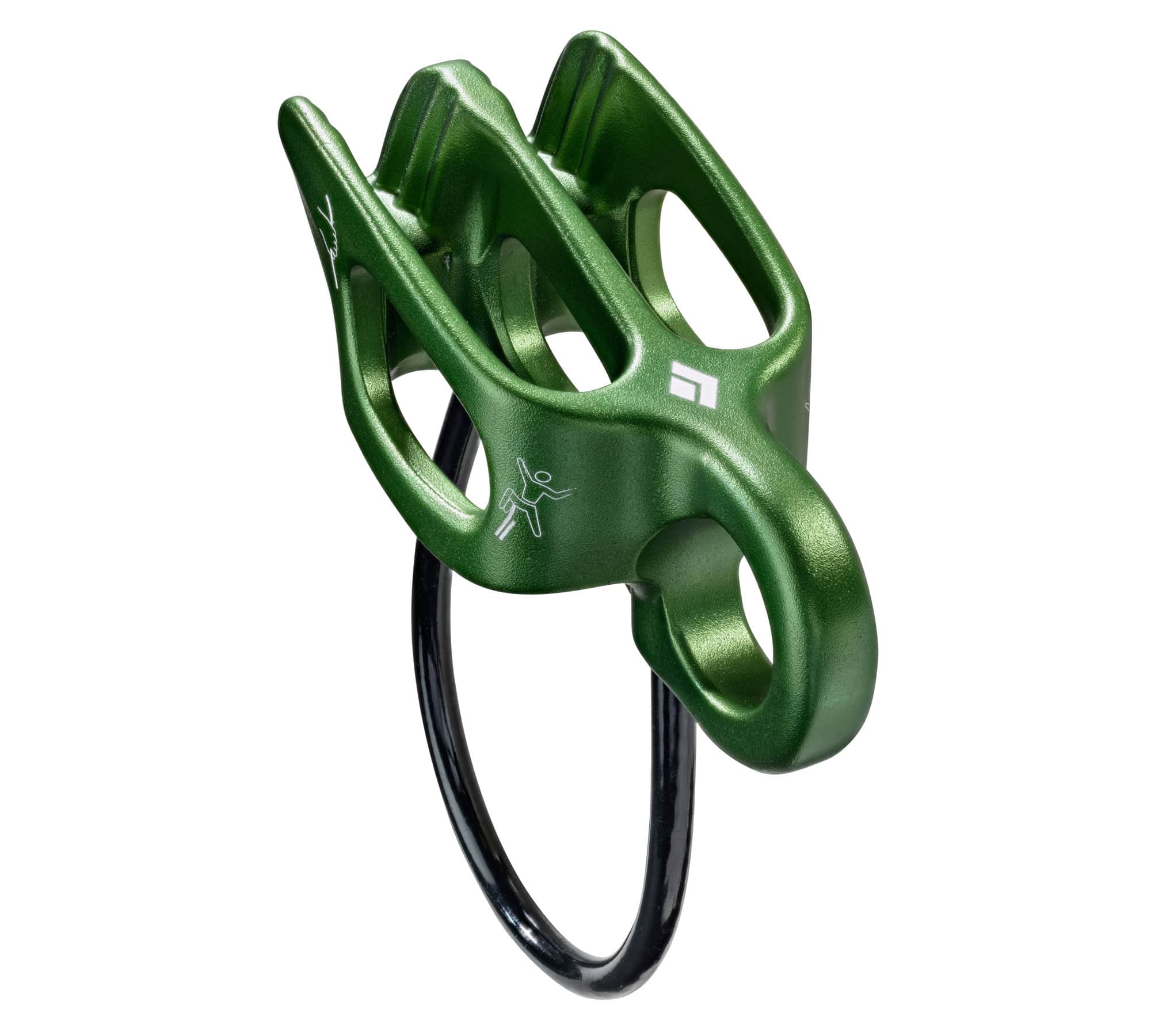
We brought our surfsuits (4mm core/3mm limbs and 3mm core/2mm limbs) to hike in, lots of dry bags, a 60' rope alone with our minimal climbing gear (climbing harness + ATCs). We rented helmets, canyoneering backpacks that had drainage holes on the side, and 3mm neoprene socks from Zion Adventures.
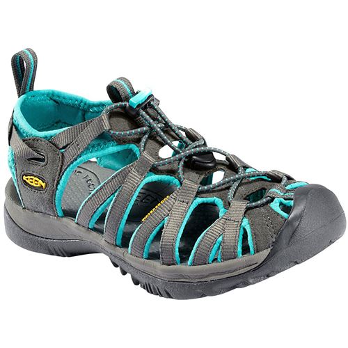
I was lucky my neoprene socks would fit in my Keen sandals, and Kyle decided to wear his normal hiking boots after a bad experience with rented canyoneering boots last year.
Conditions
Subway conditions can be found on the NPS website.
Getting There

Subway map from Zionrockguides.com
At the time of the trip Zion Adventures and Red Rock Shuttle both offered shuttles for ~25$/person. There are several outfitters that offer shuttle service between Wildcat Canyon and Left Fork trailheads. You’ll want to arrange a morning pickup at the Left Fork Trailhead where you can leave your car so that it will be ready for you when you end the hike there.
We were the first cars to park, so we were glad to beat the group of hikers on the other shuttle. The drive to Wildcat Trailhead only took about 20 minutes on a bumpy road, and there were only 2 other people on the shuttle. Just a note: both trailheads have porta-potties.
The Hike
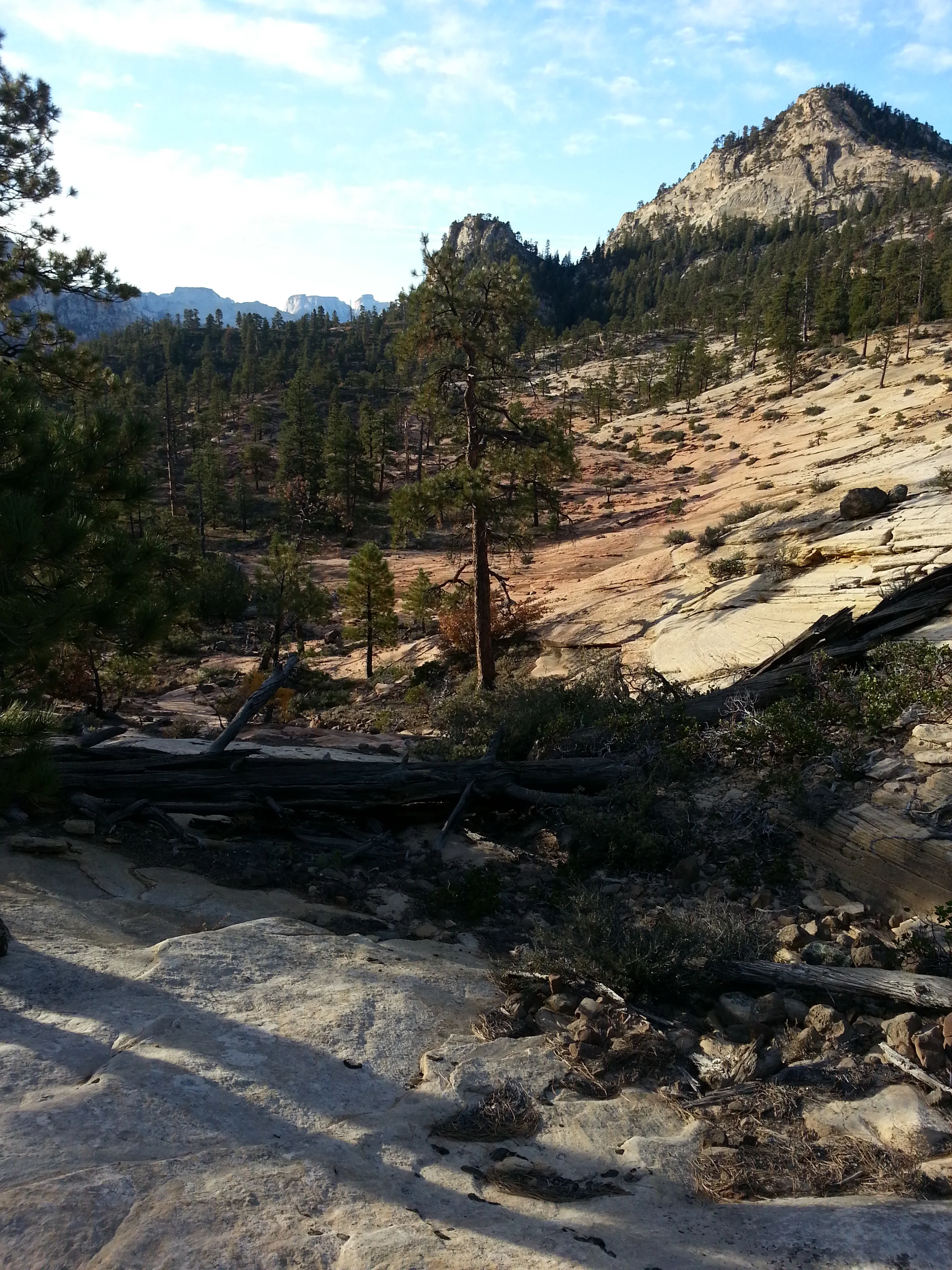
The sun still wasn't up when we arrived at the trailhead, so it was quite chilly as we began our hike. The first 1.25 miles were on an obvious trail as we descended into Russell Gulch.

The meadow at the very beginning of the Subway
There are cairns to follow, but it seemed like there were several trails so we got lost a couple of times and had to backtrack. We also had to ask a group of hikers headed to Das Boot for directions.
The cairns are a little bit difficult to spot here

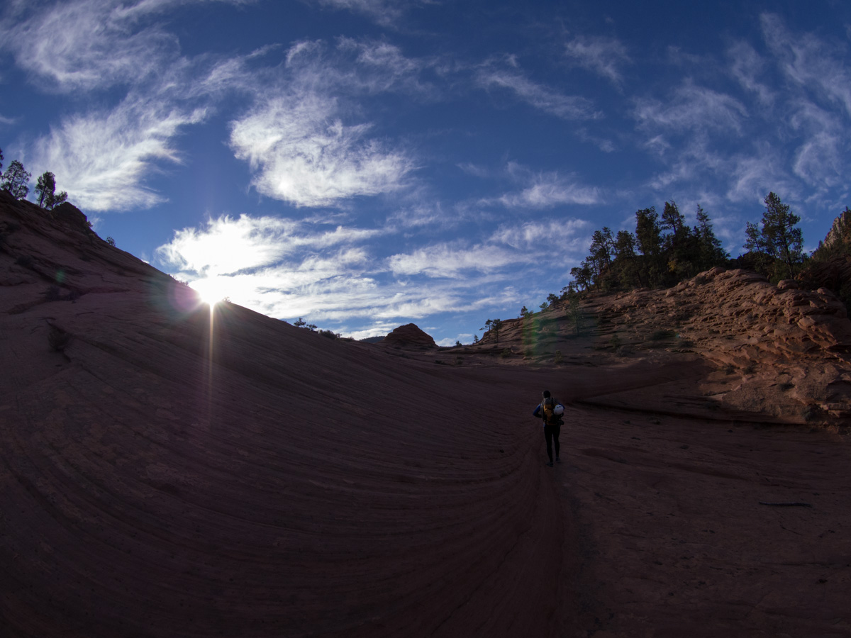
The sun finally rising and warming us up a bit
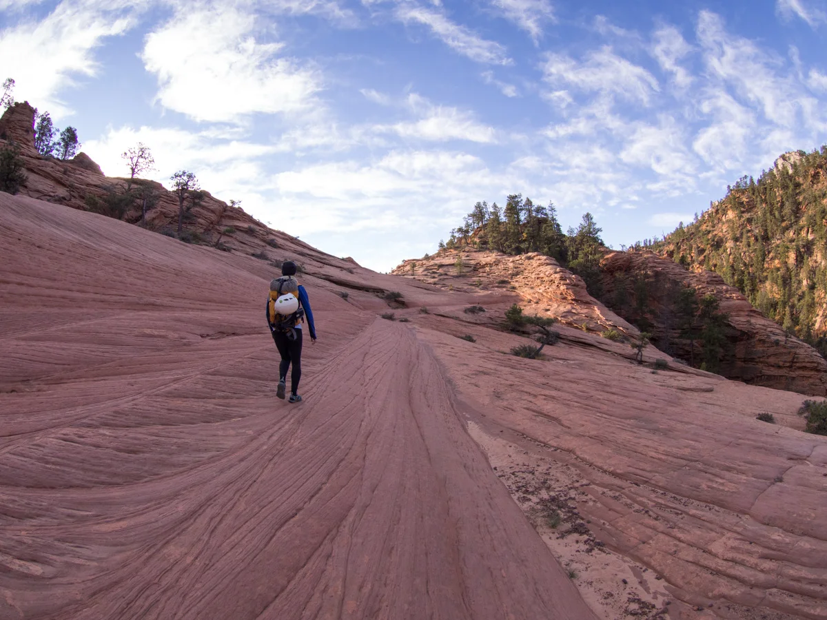
You cross a variety of terrains including this red slickrock
We followed the slickrock up to a saddle, and we continued to head towards the canyon.
Climbing up to the saddle
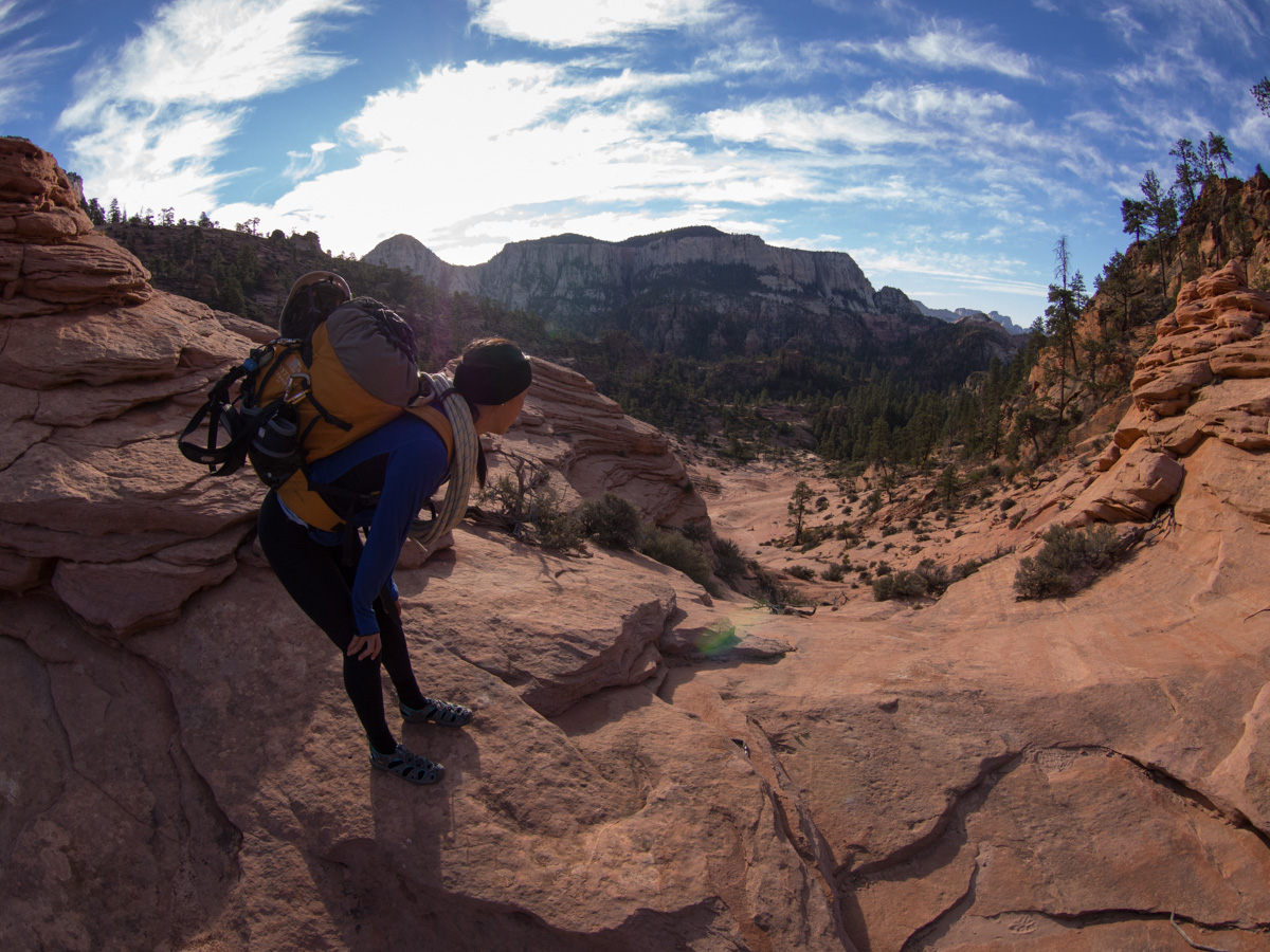
Looking over onto the other side from the top of the saddle

The trail is easily spotted worn into the rock

Double checking we are on the right path to descend into the canyon
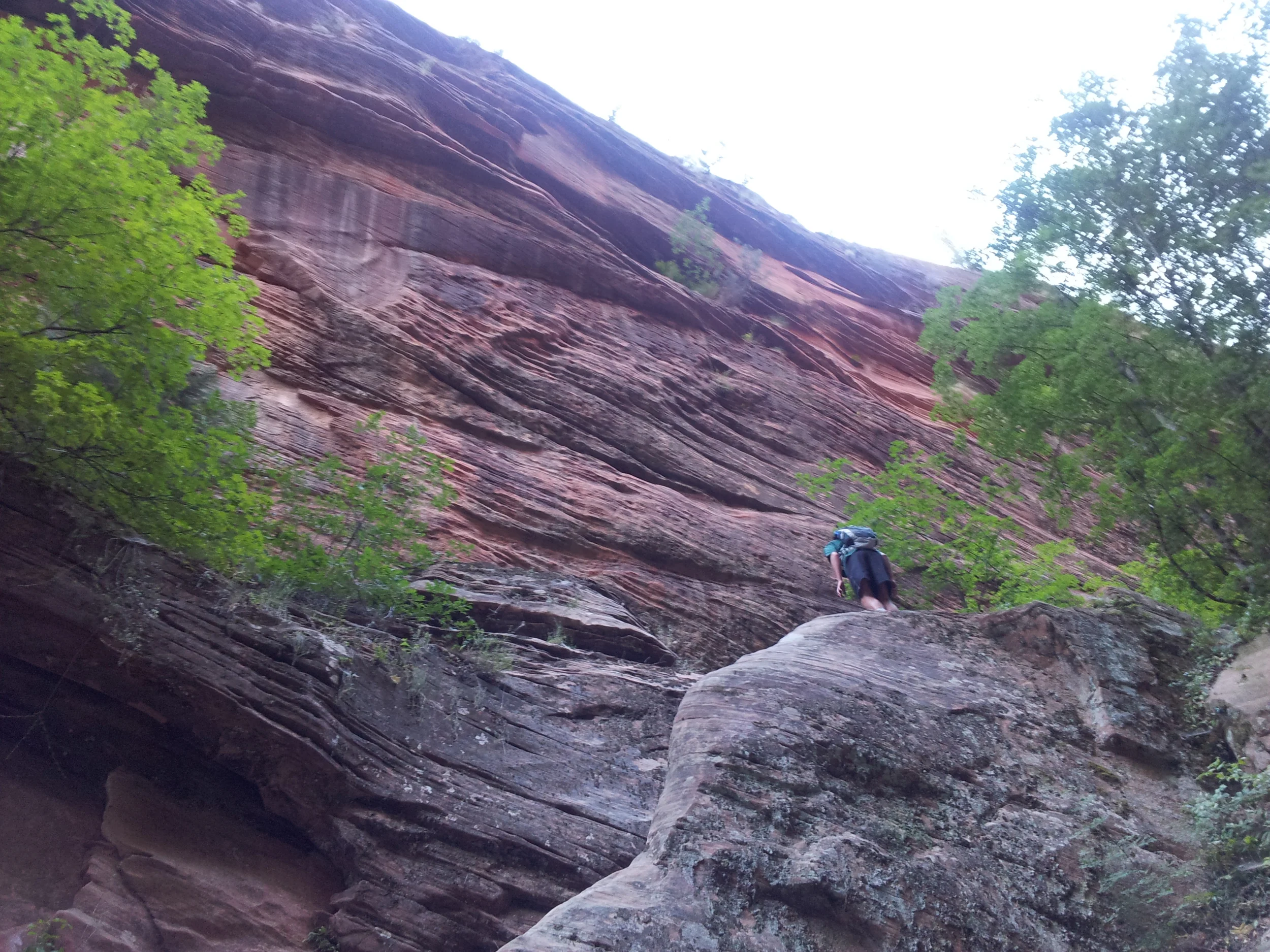
On our way down into the canyon, we followed a misplaced cairn to the left and found ourselves doing some extreme scrambling on a very precarious and steep slope. It wasn't until Kyle kicked a rock and it took several seconds before we heard it hit the canyon floor that we realized we were on the edge of a 200ft drop off! Slightly shaken up, we slowly and carefully made our way back up, and backtracked until we found the correct way.

The correct, but steep way down into the canyon

View of the canyon from above

Taking a break in the shade on our way down
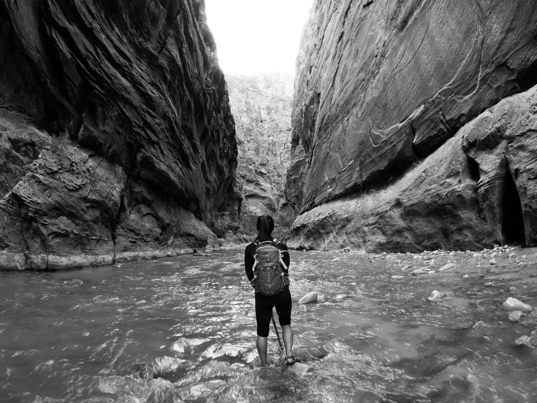
It was then a steep downclimb into the canyon. Once we reached the sandy bottom, we changed into our wetsuits and water shoes for our first thigh-deep water crossing in a still pool.

Our first water crossing through some very stagnant water
We followed it to the left until we saw the main canyon.

The trail before we reached the main canyon
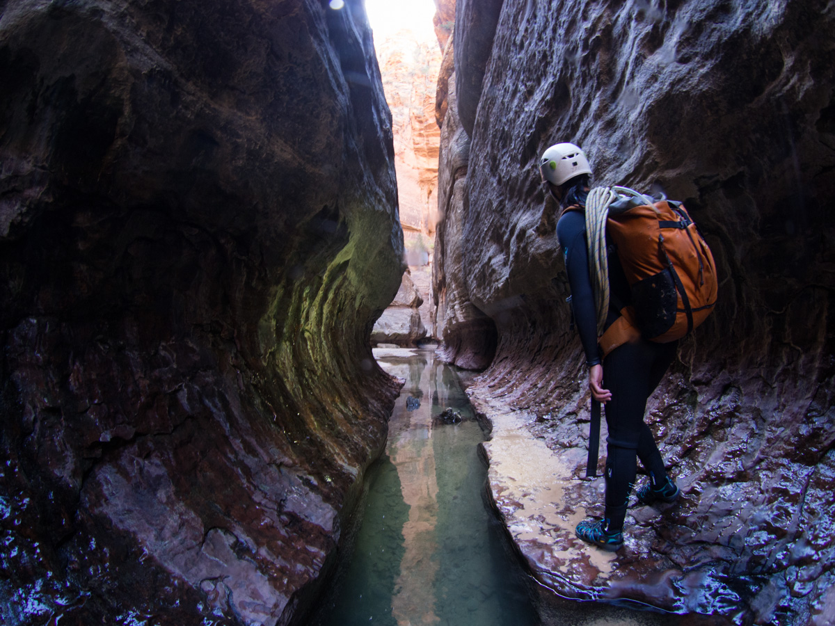
The first obstacle we reached was the large pile of boulders. I rappelled down the slanted rock while Kyle hand-lined down.

The sandy trail made for easy walking

Pools of water along the subway, no point in trying to stay dry now!
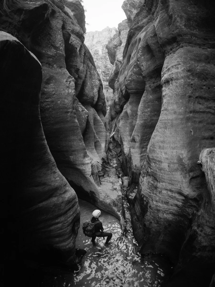
Continuing on, we reached our first mandatory swim. From the other trip reports we read, the water seemed much lower and the canyon much drier than other times of year. We left air in our dry bags to make them float, and we pushed them ahead of us like rafts while we did the swims.
Looking at our first cold dunk of the day!
The water was very cold, even in our surf wetsuits!
Eventhough the water was pretty stagnant, the water was decently clear
Short rappel down the waterfall in October

Lighting up the bowling ball corridor
When we saw the bowling ball, we realized the underside was jammed with 2 tree trunks, making it impossible to swim under. As we moved into a hollow on the side to let a group pass, one of them dislodged the log. It was slightly tricky climbing up the floating log to get over the ball.
Perched atop the bowling ball
Sunlight! These pools were pretty shallow here

Setting up the rappel at Keyhole Falls
It's crazy to imagine the river carving out this incredible canyon feature
Looking down the subway tunnel at Zion national park
We continued onto the Log Chamber. As much as the rest of the canyon changes, incredibly that log remains unmoved.
Made it to the chamber room with the 'North Pole' log
An amazing cavern. The iconic fallen log is in the background
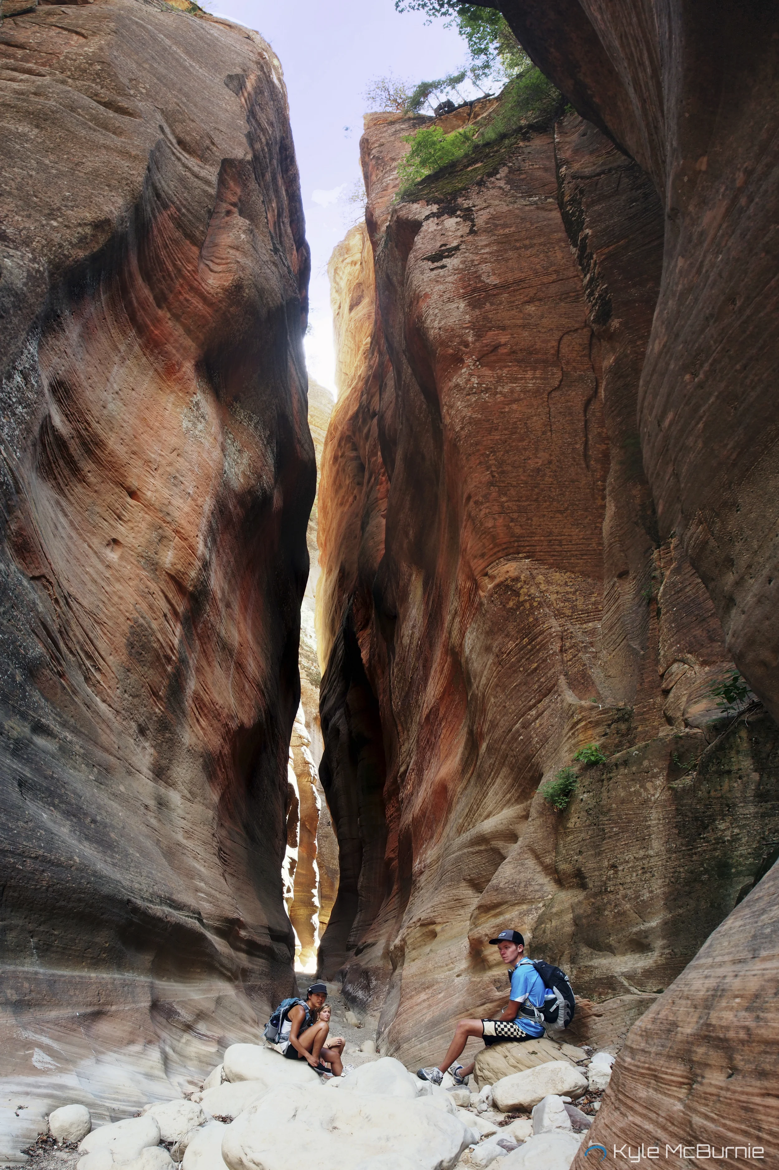
After staying here a while taking pictures, we continued onwards. The canyon began to open up, and after turning a bend to the left, we found ourselves on the edge of a ledge, with a waterfall rushing over the edge. We located the bolts on the ledge to the right, and we could see the many hikers who did the bottom-up and were stopped from going any further by the waterfall. This was the biggest rappel we've ever done (30'), and I was a little nervous having all those people waiting to watch me rappel down.
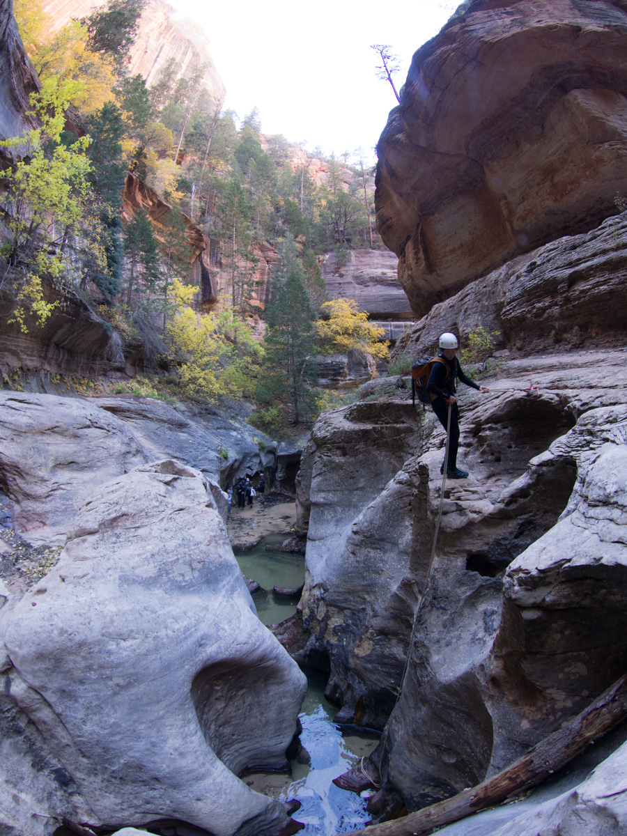
The final rappel to meet the hikers who came from bottom to top
Once we were among the rest of the dayhikers, we reached the lower Subway section. The rock was very slippery here due to the algae/moss. This was a beautiful section, one of the most photographed spots of Zion.

All to ourselves! One of the most iconic photos of Zion

The lower subway opens up and the water flows over the slickrock, this is what hikers hiking from bottom up have to hike up
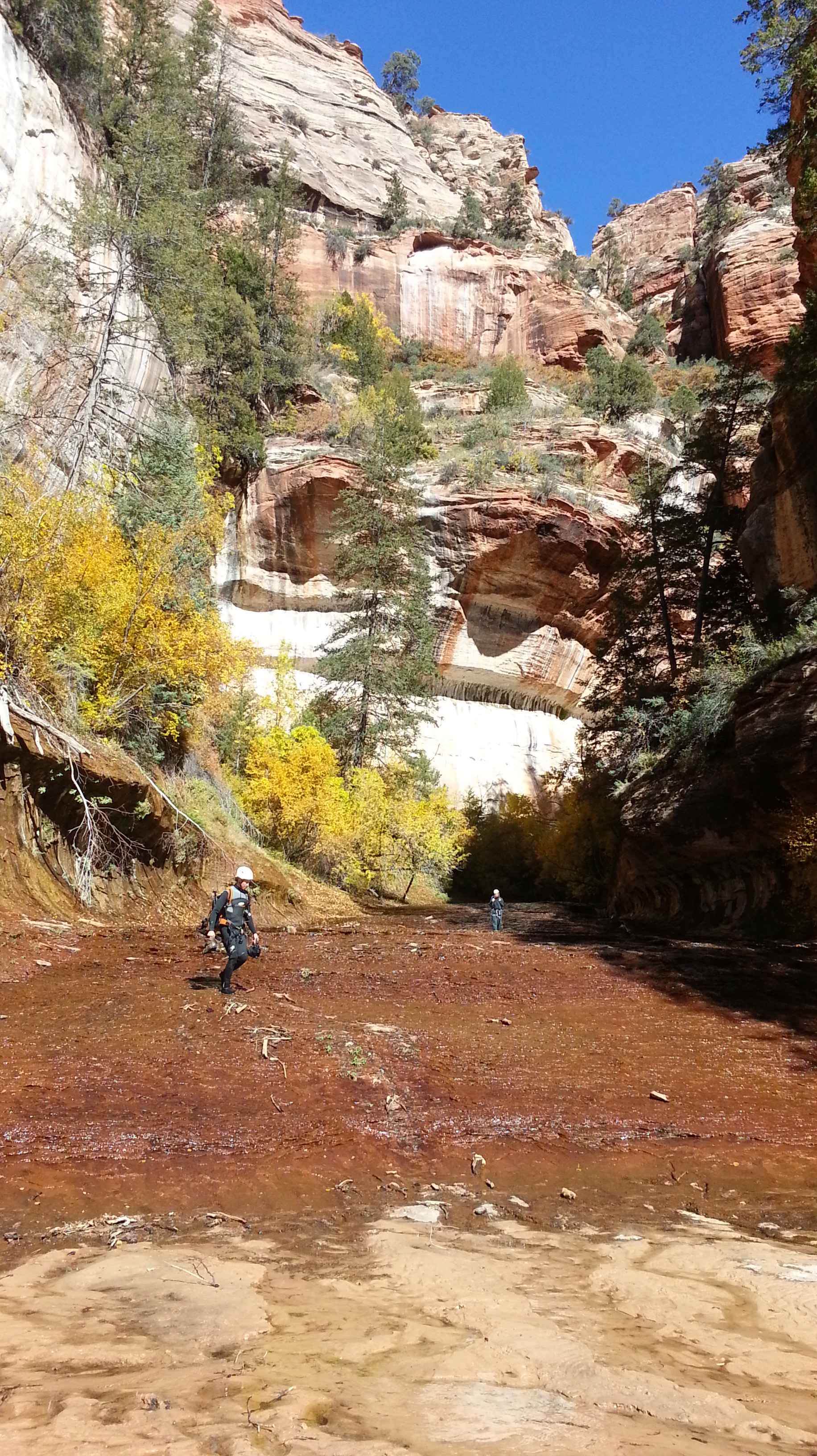
At the top of a mini waterfall, we laid our wet clothes/gear out in the sun and had a pizza lunch while soaking up the sun. It felt nice to feel the sun after a long day in the cold canyon. Our gear dried quickly, and we changed into hiking clothes (but left our neoprene socks on) As the canyon walls widened, we pretty much made our own trail along the river. We crossed the river multiple times, and no matter which side we were on, there was usually a trail to follow.

The canyon gradually opens up, and you just have to follow the river upstream
It was getting quite warm in the sun now, so we would occasionally hike directly in the stream to cool off. We saw lots of other hikers, and many were able to keep their feet entirely dry doing the bottom-top route.

Where we stopped to pump for water
We were worried we had missed the exit trail to the right leading up the canyon wall, because we had been hiking for a while. Eventually we saw a bright orange flag marking the trail up the mountain. The canyon wall had a black patch to the left of the trail up, so we knew it was the right way. It was one of the steepest climbs I've done, or maybe my body was just been exhausted from the long day of canyoneering. It was very warm too, but thankfully the sun had started to set behind the walls, so we were shielded from the hot sun.

The VERY steep climb up at the end of a long hike was challenging after a long day of hiking
We started to hear cars in the distance, and we were so excited to make it back.
We made it!
Doing it from top-down was definitely better than doing it from bottom-up. You get to see so much variety of terrain, and you are treated to amazing views the entire day while hiking in the canyon. All in all, it was an amazing birthday, and I can't wait to get more into canyoneering! Some of the other routes in Zion that I have heard about sound absolutely amazing.
Favorite gear for this trip: