We decided to return to Oak Creek to see the incredible fall colors that cover this part of Sedona every October, but everything seemed a little drier and there wasn't as much color as the year before. Even though the water was frigid, It was still an easy, beautiful overnight backpacking trip with some truly gorgeous scenery.
Backpacking Trip Info
Dates Hiked: 10/19 - 10/20
Miles: 12 roundtrip
Elevation Change: ~730 ft
Trail Type: Out and back
Trailhead: Google Maps

Trail map of the West Fork by americansouthwest.net
Getting There
Definitely try to visit on a weekday to avoid the crowds and lines for parking and bathrooms!
After staying the night in Phoenix, we woke up early and made it to the parking lot by 9:30AM. Since it was a Saturday during peak season, we had to wait in line till someone left before another car could go in (about 15 minutes wait/car). After about 45 minutes of waiting, we paid our fee of 9$/day and hit the trail by 10:30AM.
The Backpacking Trip
The beautiful photos in this post are by: Kyle McBurnie

Trailhead sign marking the beginning of the trail
The beginning of the trail passed through several ruins and old remains. Once we descended into the canyon by the creek, the temperature was much cooler, so the hand warmers came in handy. The first 3 miles were well maintained and quite heavily traveled, but the views of the foliage were spectacular.

A beautiful green portion of the trail
We noticed everything looked a little bit drier than last year, and color wasn't as vibrant. The trail crosses the river several times, and there were lots of other hikers with their cameras and dogs.

Stopping to enjoy all of the colors at the edge of the creek

One of the many adorable dogs on the trail
Once we reached the end of the maintained trail at 12:30PM, we had a lunch of packaged tuna and Triscuits and donned our water shoes.

The end of the maintained trail, there were lots of dogs and hikers who paused to take pictures or have lunch
I finally got to try out my new Keen Whisper sandals! They worked great, but I wish I had brought some socks or neoprene booties, because my exposed feet quickly numbed in the cold water.
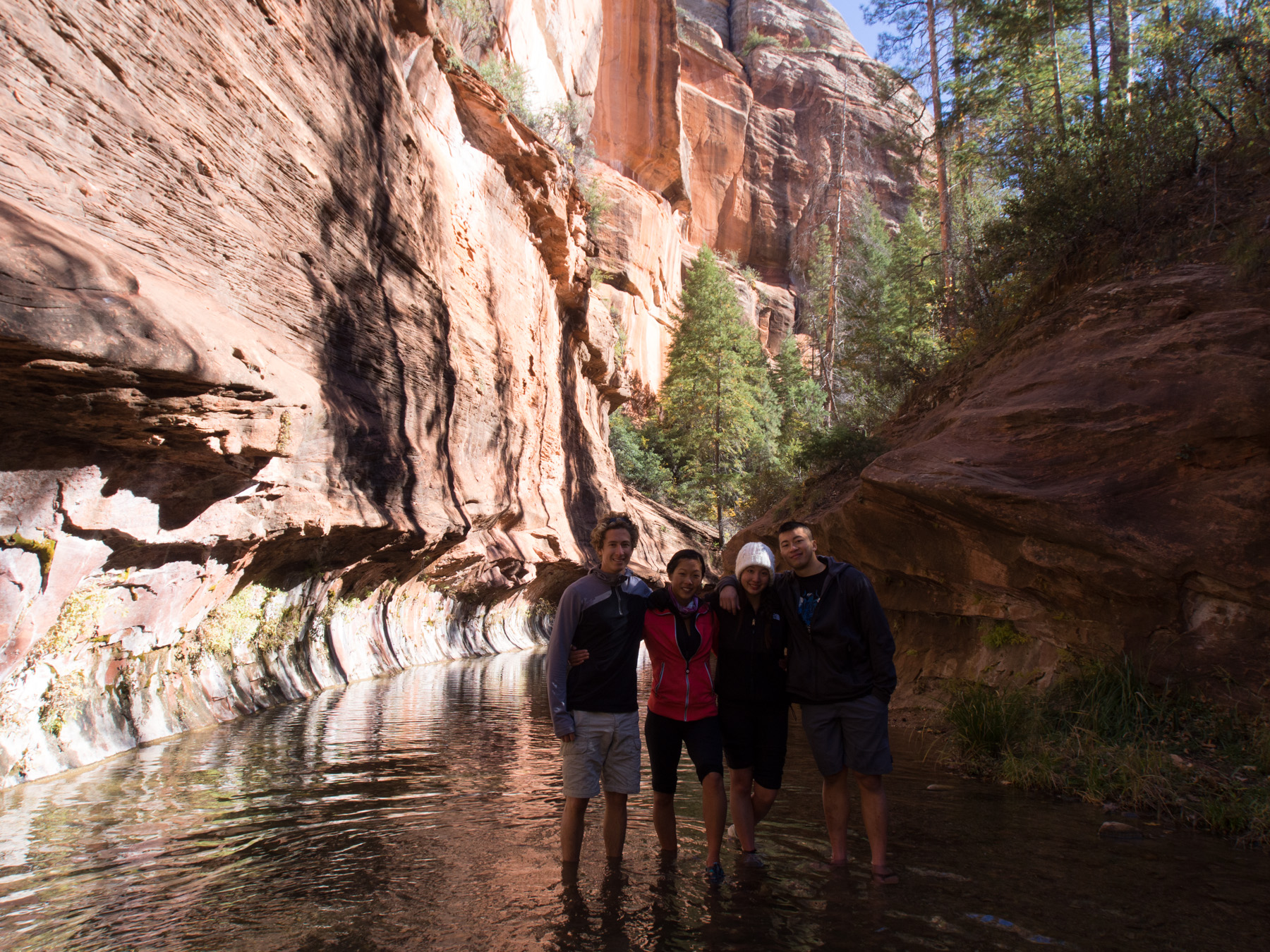
With the rest of the day hikers gawking, we proceeded to wade up the creek. Definitely look ahead underwater - there will usually be a side of the creek that is shallower. There are plenty of dry portions that can be taken instead of wading through the river, but there are times where the water reached my mid-thighs.

Leaving all of the other hikers behind as we waded up the frigid water

A beautiful dry portion of the trail gave us some amazing views of towering rocks
We reached a beautiful clearing and hiked along the right side to warm up our feet
Looking back after crossing this large body of water
After the clearing, we turned the corner to see the smoothest rock wall ever
The trail now was on the right side of the river, with occasional scrambling over log piles
After hearing about some campsites that other trip reports talked about, we occasionally climbed up the bank in search of suitable camp spots. A little before the 6 mile mark, we saw a path leading up the bank, and after following it up a short, steep climb, we discovered the perfect camp spot complete with tree benches and a fire pit!

Relaxing around the stone fire pit after setting up our tents
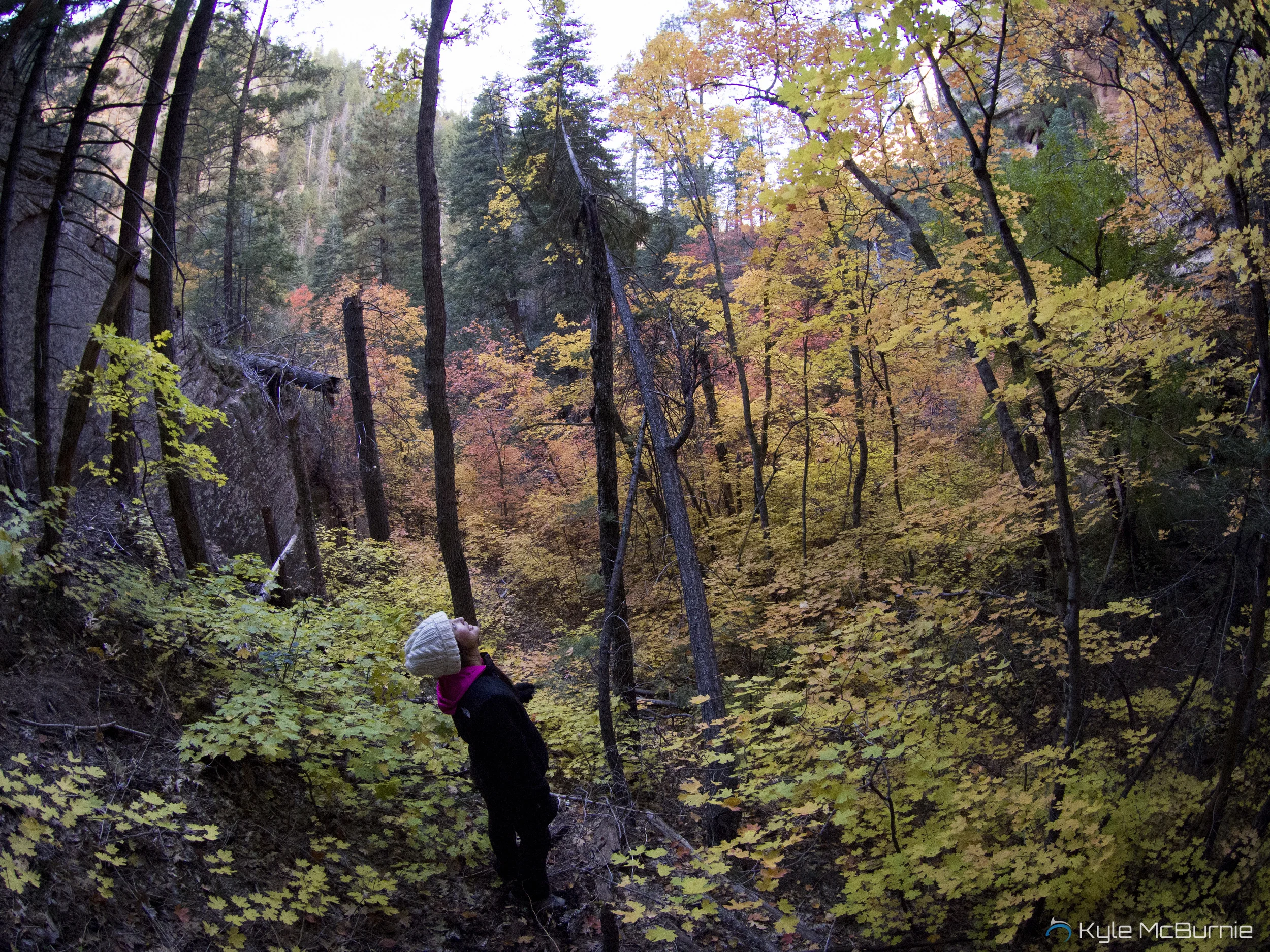
After setting up camp, we decided to explore a bit. Only about 100 ft. away, there was a beautiful, dense grove of fiery trees which we admired for a while.

JQ surrounded by autumn colors!
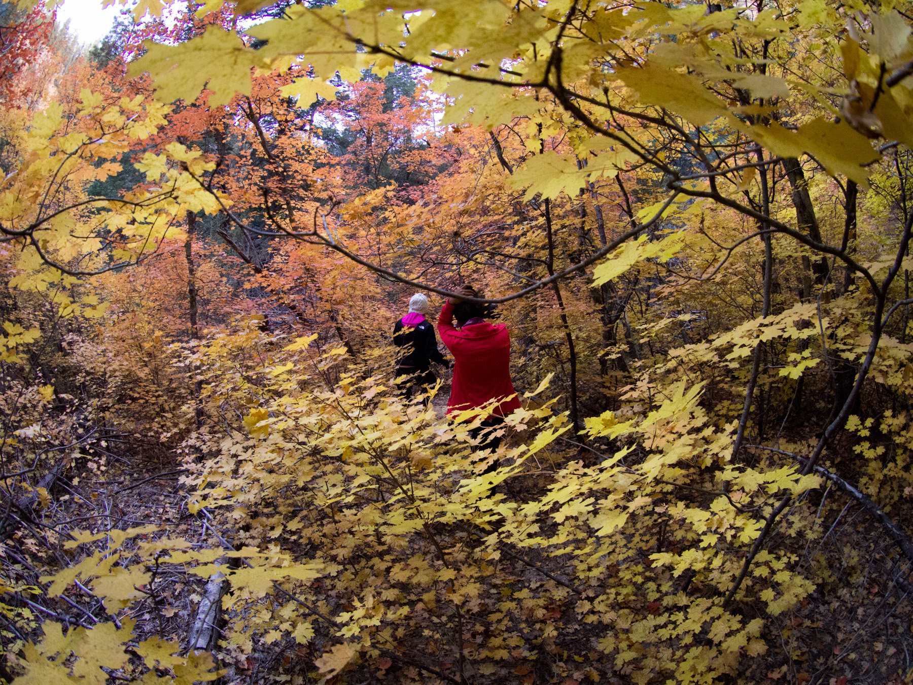
Making our way through the gradient of colors

We continue to trek through the forest, climbing over manzanita bushes and scaling up the side of the rock canyon wall. After gaining some elevation, the view looking back down at the creek was incredible.
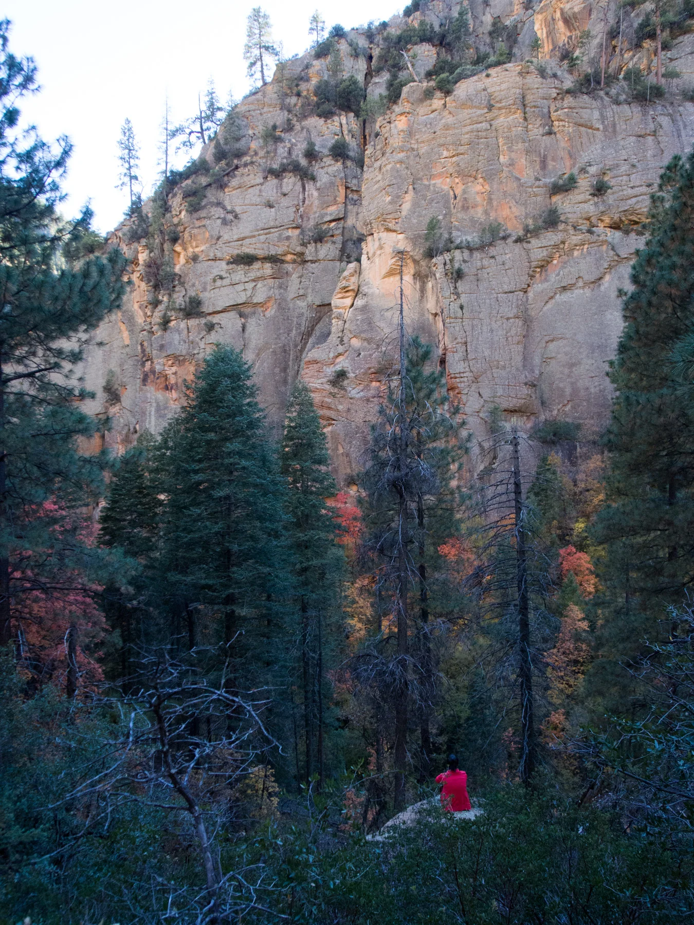
You can see the colorful trees that line the river in the canyon below

This is why I love fall!
We tried to continue climbing up while following the canyon, but we reached a dead end of bushes too thick to pass, so we turned around and descended back into the valley. We eventually found a small path that ran along the upper bank.

We stopped by a particularly colorful tree to snap a group photo
Returning to our camp spot, we went down to the river to pump some cold river water and refill our bladders. We then started a fire (plenty of firewood around) and made some mashed potatoes with canned soup (the luxury of a short backpacking trip). After a dessert of some fruit snacks, we decided to go on a walk and headed back towards the colorful grove.

An amazing shot of us looking into the trees with our headlamps
On our way back, we noticed the moon had risen up over the canyon walls and had made everything much brighter. It got quite chilly early in the night, and I actually had trouble sleeping because it was so cold.
While making oatmeal and coffee the next morning we had to lay out our groundcloth because it was wet. After packing up (JQ had to put on cold, wet shoes), we hiked back down to the creek and re-entered the icy water by 8:30AM.

The morning light looked beautiful at the clearing
Self timer. You can't tell, but we are all grimacing in pain from the icy water
The hike out was a lot quicker since we had already seen the views and our feet were icy. Seeing people's reactions as we emerge from the assumed end of the river is hilarious. At around 9:50AM we stopped at our same lunch place to have a bite, dry off, and change into our hiking boots.

Back on the main trail

An especially colorful portion of the trail
Kyle decided to follow the creek and broke off the main trail. He saw an rock overhang that the main trail passed by and followed the river up to snap some cool photos of it.
3 of us sitting on an overhang over the creek
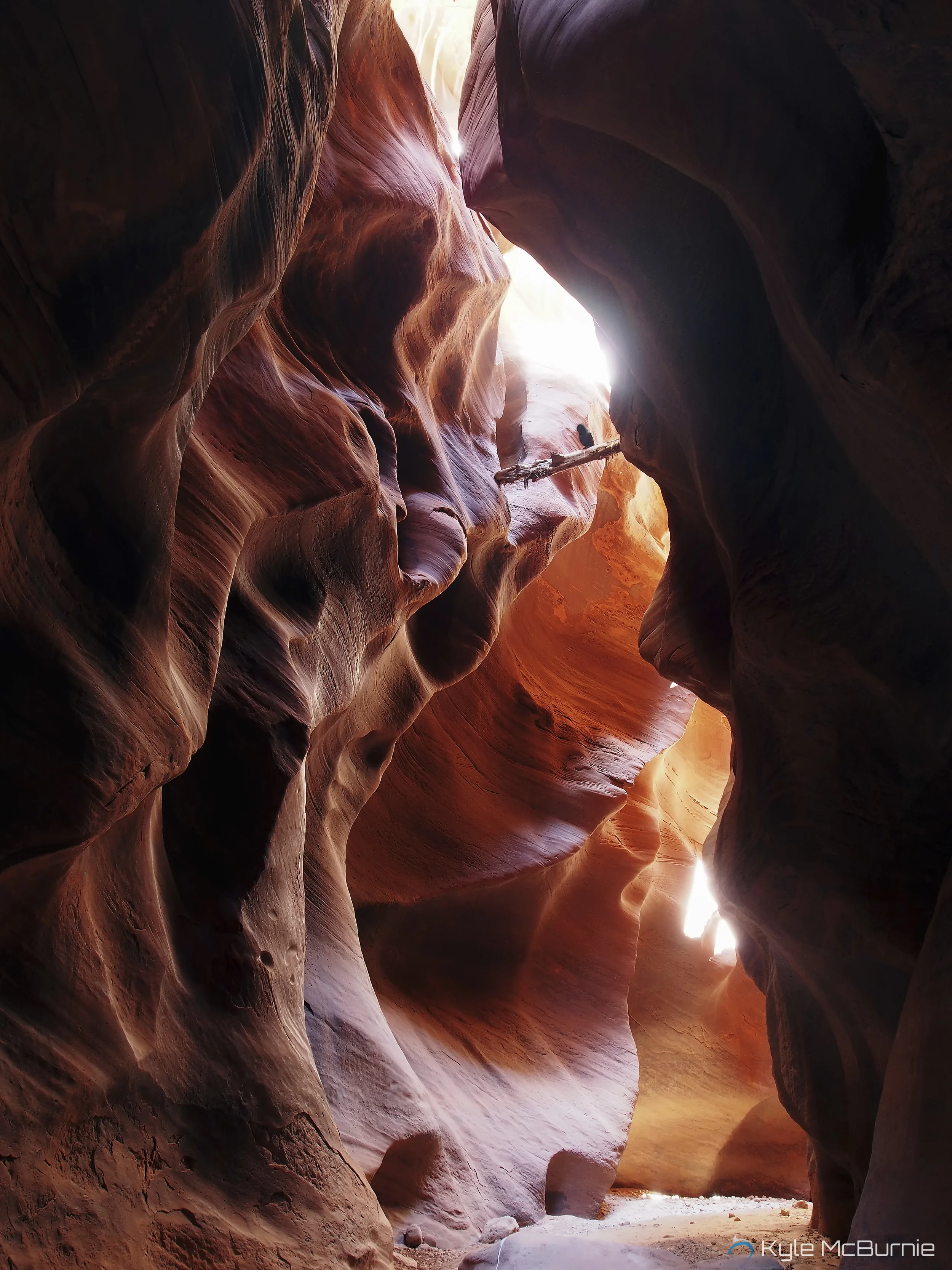
The view from below the overhang looking at the opposite canyon wall
After hiking pretty quickly, we reached the trailhead at 11:15AM. We wanted to make it to Zion in time to pick up rental gear for the Subway, so we said goodbye to JQ and Ed and gave up our parking spot to someone waiting in the line that was already backed onto the highway.
Other useful sites:
DanKat
Calipidder
Sedona Hiking Trails
Favorite gear for this trip: